Sous les projecteurs
2 satellites activés pour évaluer les dégâts du tremblement de terre en Italie
Sous les projecteurs
2 satellites activés pour évaluer les dégâts du tremblement de terre en Italie
Langues disponibles
On Wednesday, October 26, three earthquakes rattled central Italy, collapsing buildings and sending panicked residents into the rain-drenched streets just two months after another powerful earthquake killed nearly 300 people on August 24th. Fortunately, there were no fatalities linked to the earthquake that occurred this week. Historic buildings have however been badly damaged. The epicenter of these three earthquakes (5.4, 6.1 and 4.9 on the Richter scale) was near the town of Visso in the central Marche region, close to the previous devastating earthquake. The tremors were felt as far away as Rome, Venice and Naples. In Rome, some 230 kilometers (145 miles) southwest of the epicenter, centuries-old palazzos shook and officials at the Foreign Ministry evacuated the building.
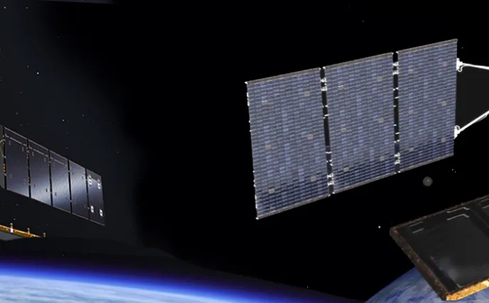
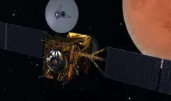
Sentinel-1 and COSMO-SkyMed on call
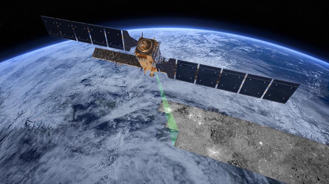
In response to a request from Italian authorities, the European Union’s Copernicus Emergency Management Services were immediately activated to provide satellite-based damage assessment of the affected areas.
The powerful radars on the Sentinel-1 and COSMO-SkyMed satellites [both built by Thales Alenia Space as prime contractor] provide a rapid assessment of the impact on any region, as well as detailed images of the specific areas where damage occurs. They both use synthetic aperture radars (SAR) that can “see” through clouds day or night and in any weather, and can measure ground movements to within a centimeter.
© ESA