Space to Travel & navigate
We no longer use paper maps to get around by car; today’s satnavs have everything we need to get safely from A to B. Geolocation also lets us precisely identify people adrift at sea or in other dangerous situations. Satellite navigation systems are used at airports to assist pilots during takeoff and landing. They also serve a host of other applications like tracking ships, search & rescue, the Internet of Things (IoT) and agriculture. And they have already helped save many human lives.
As a pivotal player in programs like Galileo and EGNOS, Thales Alenia Space has always been a pioneer in satellite navigation systems.
About EGNOS
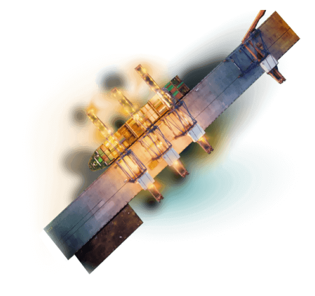
EGNOS (European Geostationary Navigation Overlay Service) is the system used to augment Galileo’s accuracy and performance all over Europe. Its services help aircraft land at small airports and assist shipping, typically for operations like conveying a platform through tight channels. Thales Alenia Space has continually enhanced the ground system to ensure the integrity vital to ultra-precise and reliable positioning requirements for new applications like autonomous road, rail and maritime transportation systems. Safety-of-life services already exist for aviation.
The Korea Aerospace Research Institute (KARI) turned to us to conceive its own version of EGNOS, KASS (Korea Augmentation Satellite System), which provides safety-of-life services for the aviation, rail, maritime and road sectors. KASS system has been completely operational since 2024. Thales Alenia Space also developed the MEOLUT Next active-antenna system used for satellite search & rescue operations. This solution, renowned for its exceptional coverage and positional accuracy, enables the intergovernmental COSPAS-SARSAT satellite-based search-and-rescue initiative to save hundreds of lives every year.

About Galileo
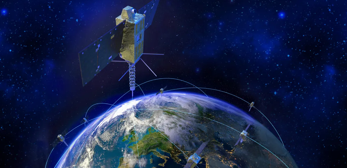
Thales Alenia Space was involved in every development phase of the first-generation Galileo system, in charge of system support, the Galileo Mission Segment and the Galileo Security Facility. In 2021, our company was selected by ESA, acting for the European Commission, to build 6 of the 12 new satellites for the Galileo Second Generation sovereign constellation.
In 2023, we signed contracts with ESA and the Commission to design and build the Galileo Second Generation mission ground segment and provide technical support for systems engineering with our European partners.

Improved geolocation accuracy and integrity
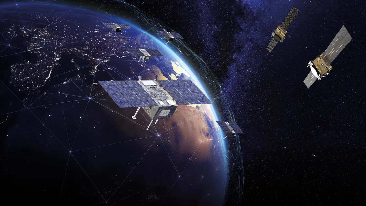
ESA launched Celeste project in 2024, which is currently in its In-Orbit Demonstrator (IOD) phase. The Celeste demonstration constellation comprises 11 microsatellites that will be orbited, delivered by two prime contractors, with Thales Alenia Space building five spacecraft. This program is designed to enhance resilience and exponentially boost the performance of existing navigation services. Built on a multi-orbit approach, it will work alongside Galileo and other satellite navigation systems to deliver centimeter-level geolocation accuracy, improved robustness, strong resistance to jamming and spoofing and low latency (fast signal acquisition).
The Celeste mission is intended to support emerging use cases such as high-level vehicle autonomy — including continuous coverage in dense urban areas — Internet of Things applications, unmanned aerial and maritime vehicles and 5G/6G terrestrial network synchronization. Embodied first by Celeste program, the Low Earth Orbit Precise Navigation Timing (LEO-PNT) technological approach could pave the way to additional related projects in the Export market.
Geolocation for the Internet of Things
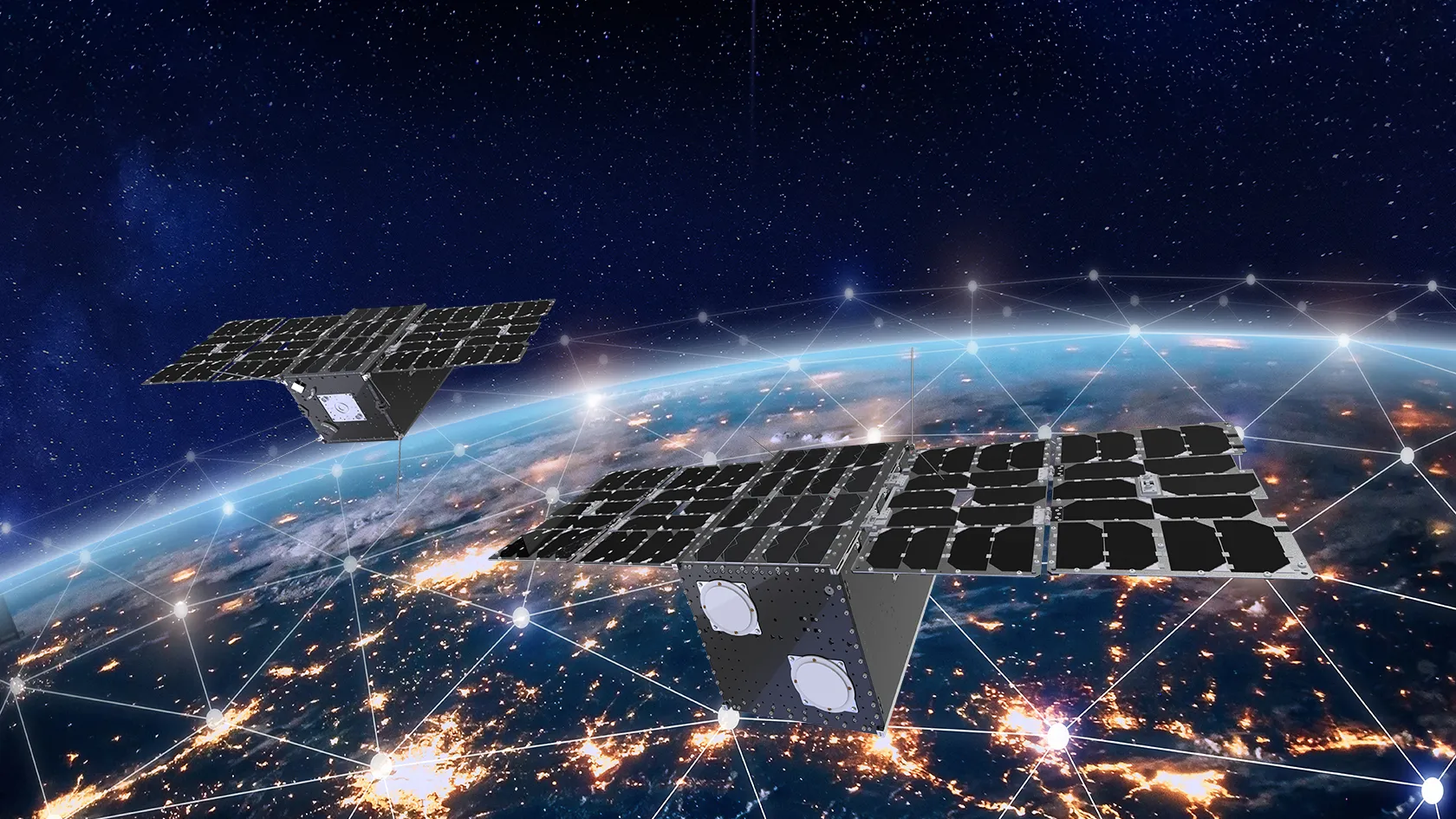
Thales Alenia Space has leveraged its expertise in satellite constellations and navigation to address new markets calling for new navigation and geolocation capabilities, like Kineis, the first French constellation dedicated to the Internet of Things (IoT), and Omnispace.
Kinéis covers 100% of Earth’s surface — including the 85% not served by terrestrial networks. It offers low-power, low-data-rate, near real-time data transmission capabilities for connected devices, regardless of location.
We were the system architect and responsible for the payloads of this constellation featuring 25 nanosatellites, all successfully launched from mid-2024 to early 2025.
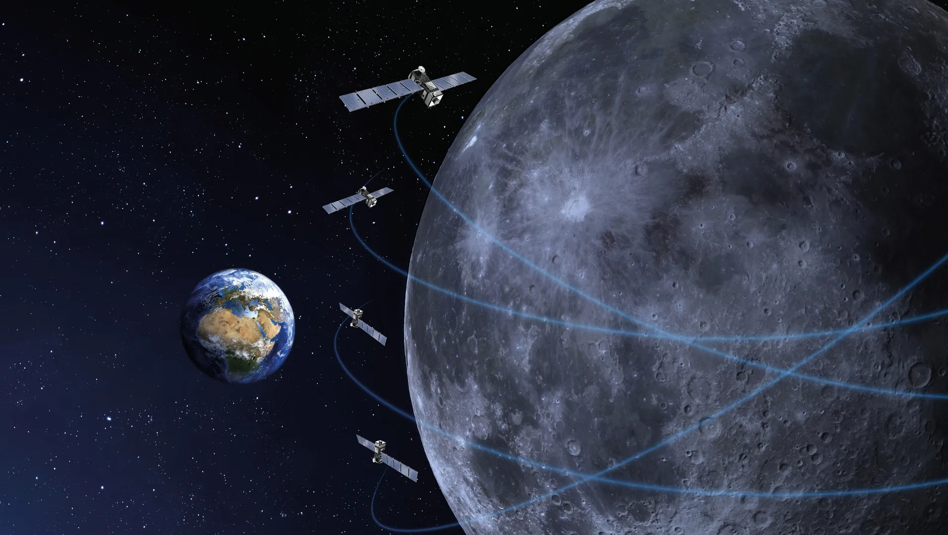
Pioneering the future of satellite navigation
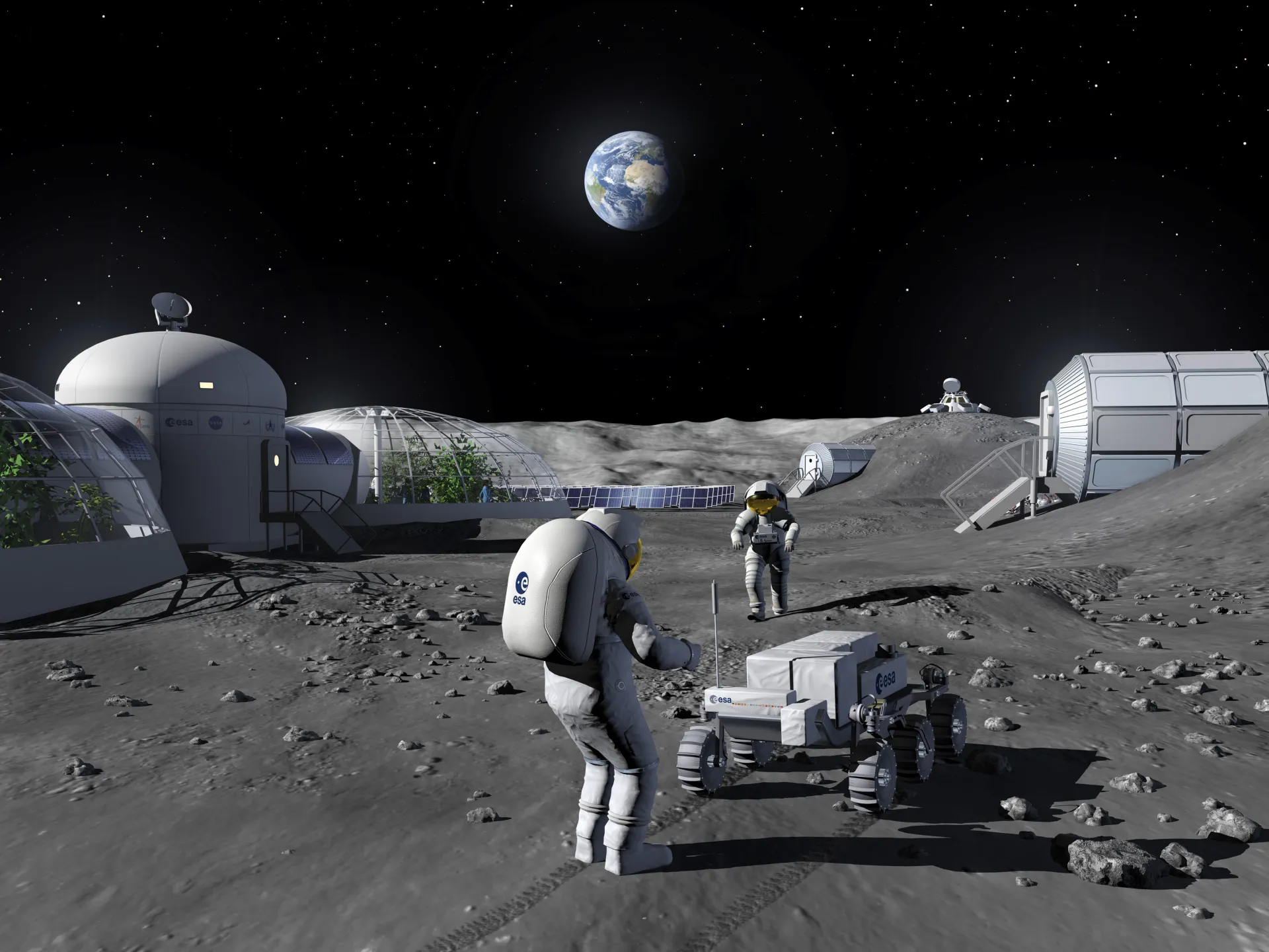
For the Moon to become an effective forward base for space exploration, it must first have a reliable and secure navigation and telecommunication infrastructure. This is the goal of the Moonlight program led by ESA. This lunar network will enable real-time communication between Earth and human or robotic missions on the surface, continuous connectivity and precise navigation for rovers and astronauts. To enhance geolocation around the Moon and on the lunar surface, we will supply the space-based navigation segment, comprising four satellites.