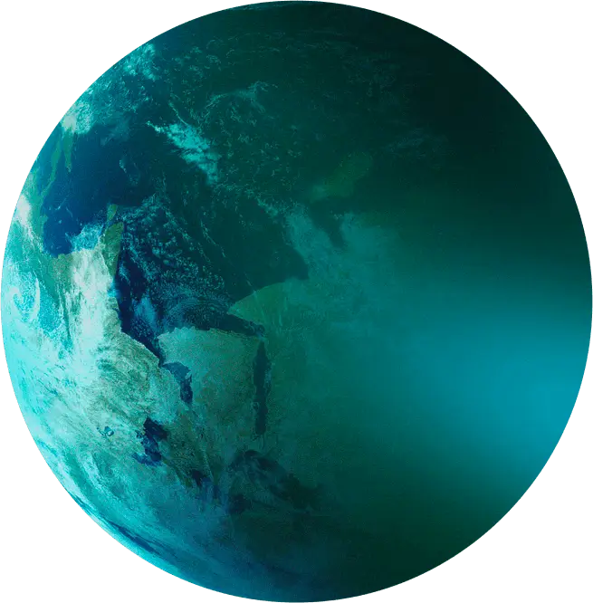
Space to Observe & protect
The Copernicus program’s Sentinels
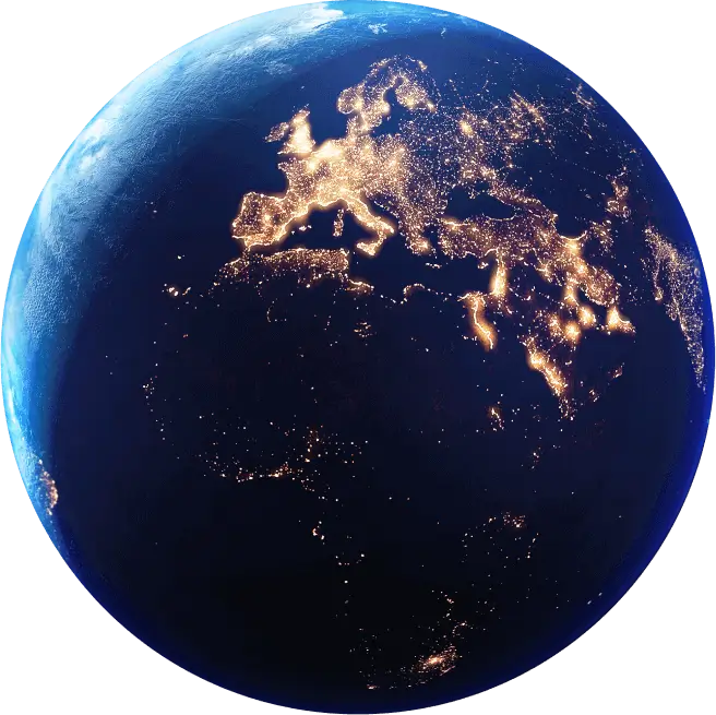
How could we live in a world without Earth observation systems? For several decades now, Earth observation satellites—whether for oceanography, weather forecasting or environmental monitoring—are vitally important for citizens everywhere. The data they provide to the scientific community is delivering deeper insights into the climate mechanisms that govern our planet. Such information can be the difference between life and death, especially when the elements unleash their full fury.
With the data they need to anticipate natural disasters, decision-makers and first responders are able to react quickly to activate emergency plans, warn populations at risk and make danger zones safe. Some Earth observation satellites literally save lives.
At Thales Alenia Space, we have proven experience in building remote-sensing satellites to monitor the Earth’s environment.
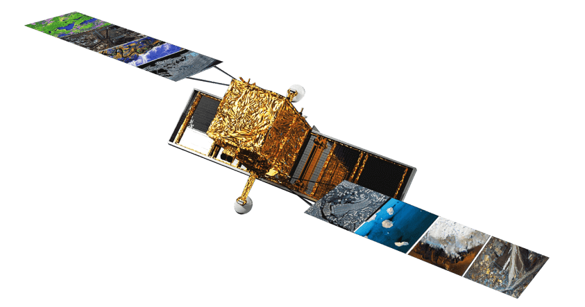
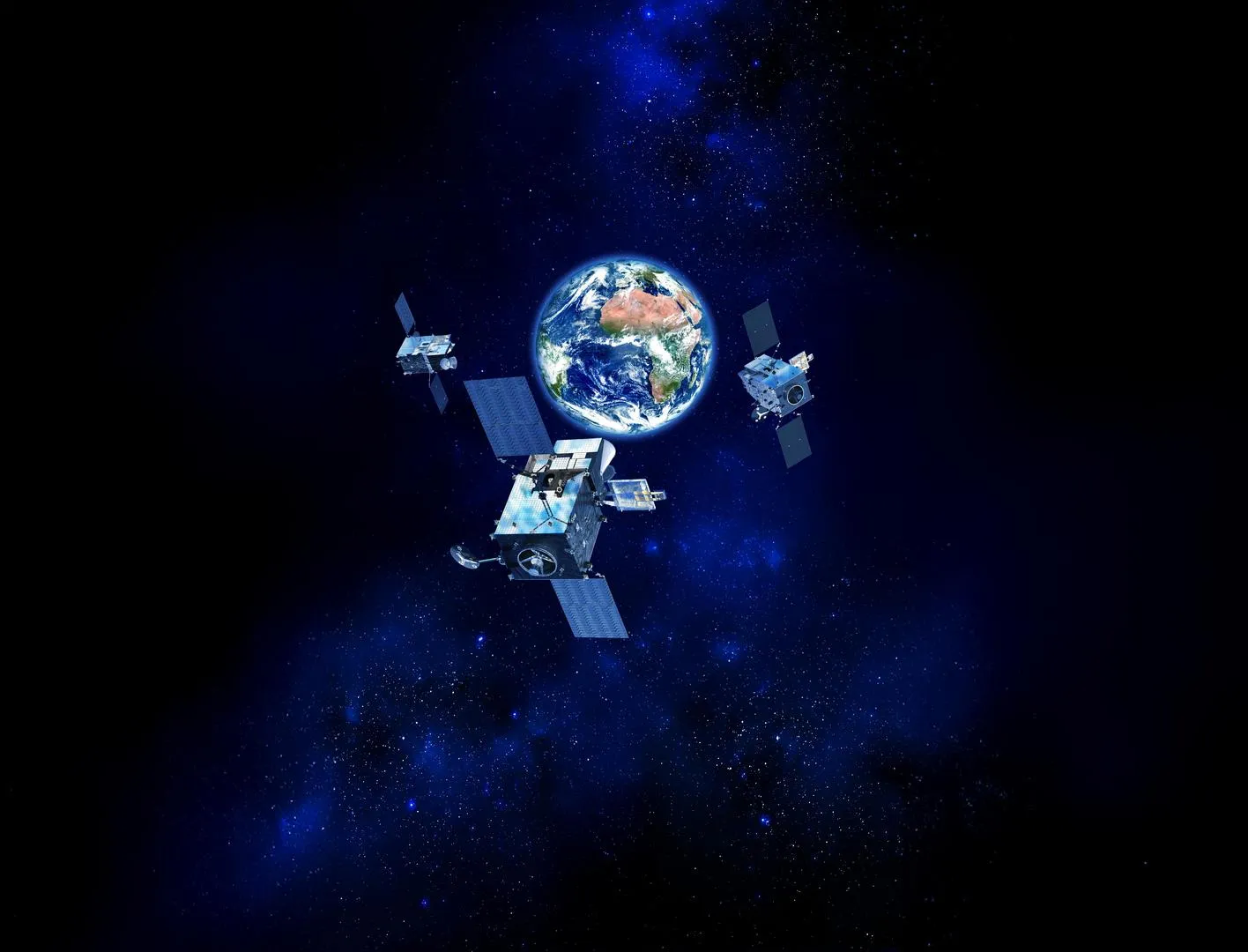
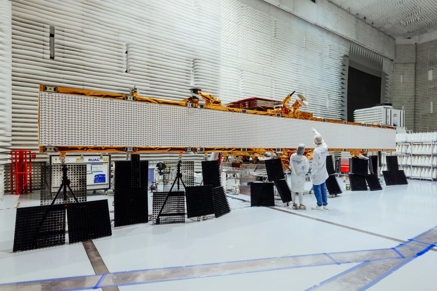
Copernicus is the most ambitious environmental monitoring program in the world, with 12 families of “Sentinel” satellites surveying Earth, its topography, seas, lakes, oceans, and polar regions. Copernicus also encompasses climatology missions and programs measuring human-induced CO2 emissions or affording new applications to foster sustainable agriculture and biodiversity. A program of this scale is a key to Europe’s ability to better anticipate the consequences of global warming so that we can safeguard our planet. Thales Alenia Space is a major contributor to 11 of the 12 missions in the European Commission’s program. The satellites are built by European prime contractors for the European Space Agency (ESA). Thales Alenia Space is prime contractor for the Sentinel-1 and Sentinel-3 satellite families. We are also responsible for the Sentinel-2 image ground segment, and we helped to build the imaging spectrometer on Sentinel-5P and the Poseidon-4 radar altimeter on Sentinel-6.
In 2020, Thales Alenia Space was awarded five contracts for the six new Copernicus Expansion missions, as prime contractor for the CIMR, ROSE-L and CHIME satellites, and supplier of the CRISTAL and CO2M mission payloads. In 2025, Thales Alenia Space was awarded a contract to develop a third payload for the third satellite of the CO2M mission. CO2M mission will measure human-induced CO2 and methane emissions with unprecedented accuracy and frequency. The addition of a third satellite will enhance the constellation’s performance and improve data acquisition over Europe. It will help reduce uncertainties in fossil fuel emission estimates and support EU climate policies. Beside Copernicus, our company was also entrusted by the Italian Space Agency in 2025 to contribute to a fascinating program, NASA's Surface Biology and Geology Earth Observation mission, meant to understand the biological and geological processes on the Earth's surface.
In the vanguard of altimetry and geostationary weather satellites in Europe
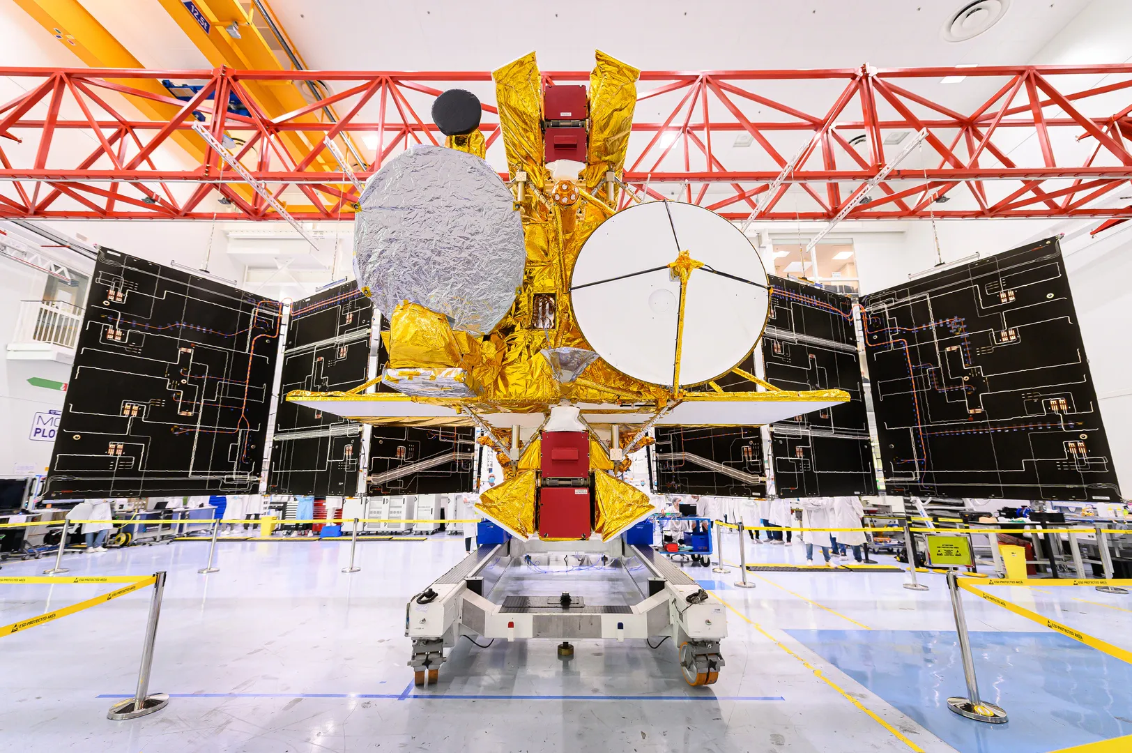
Since 1977 and the launch of the first Meteosat satellite, Thales Alenia Space has always been in the vanguard of geostationary weather satellites in Europe. We are the prime contractor for 17 satellites built for ESA and Eumetsat: seven for the first generation, four for the second and six for Meteosat Third Generation (MTG), which includes four imagers and two atmospheric sounding instruments. Each new generation represented a giant leap in weather forecasting. In Meteosat’s day, satellite Earth imagery was refreshed every 30 minutes versus 15 minutes from the current generation.
With MTG, images will be updated every 10 minutes globally and every 2 minutes and 30 seconds for Europe. Meteorologists are therefore eagerly awaiting these new satellites set to revolutionize modern weather forecasting and significantly improve accuracy; the imagers will have lightning detectors and the sounding instruments will have the ability to map the atmosphere in 3D.
Once all the satellites are in orbit, Eumetsat will be getting the world’s most sophisticated weather forecasting services. The first MTG imaging satellite was successfully launched by Arianespace in December 2022, with the first image released in May 2023. The on-board lightning detector, developed by Leonardo, is capable of detecting and “seeing” lightning from space over Europe and Africa. It makes it possible to anticipate high-intensity thunderstorms, guaranteeing greater safety facing this climatic phenomenon.
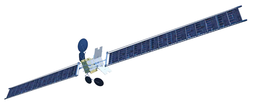
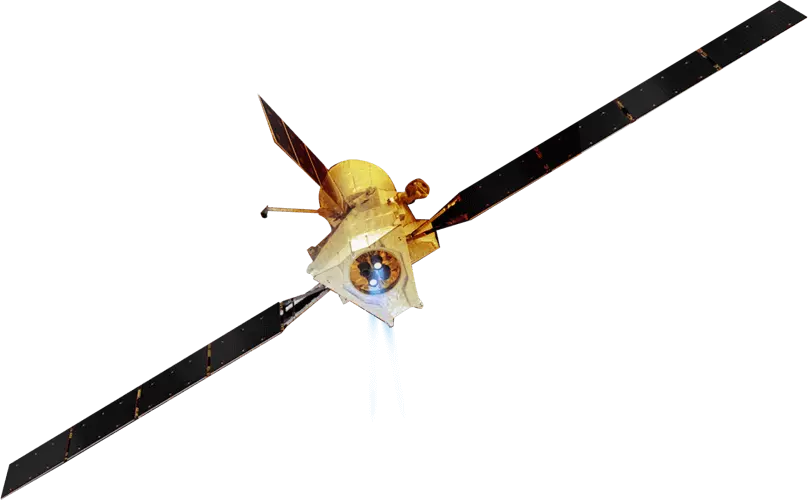
Our company is also a world leader in space-based altimetry. Our radar altimeters are flying on world-renowned oceanography satellites, the latest being SWOT. A joint mission between CNES and NASA, this satellite, mostly built by Thales Alenia Space in cooperation with the Jet Propulsion Laboratory, is set to revolutionize oceanography and continental hydrology. SWOT features a controlled atmospheric reentry subsystem, which means no debris will be created when it reaches end-of-life. Lakes, rivers, reservoirs and oceans - 90% of the Earth's surface waters can be probed thanks to this high-tech jewel.
4 satellite launches in 2025, all related to environmental monitoring
Meteosat Third Generation’s first sounding satellite was successfully launched in 2025. Its primary mission is to map the Earth’s atmosphere in 3D while offering enhanced monitoring of air quality and greenhouse gas concentrations. Our teams were also excited to see MicroCarb, Europe’s first mission to monitor and map atmospheric carbon dioxide, reaching its position in orbit in 2025.
Two Copernicus Earth observation satellites were also launched end of last year: Sentinel-1D, being used to monitor landslides, earthquake zones, volcanic activity and variations in polar ice cover, and Sentinel-6B, aimed at supplying vital radar data to monitor sea level rise and protect coastal communities.
Stratobus: midway between satellite and drone
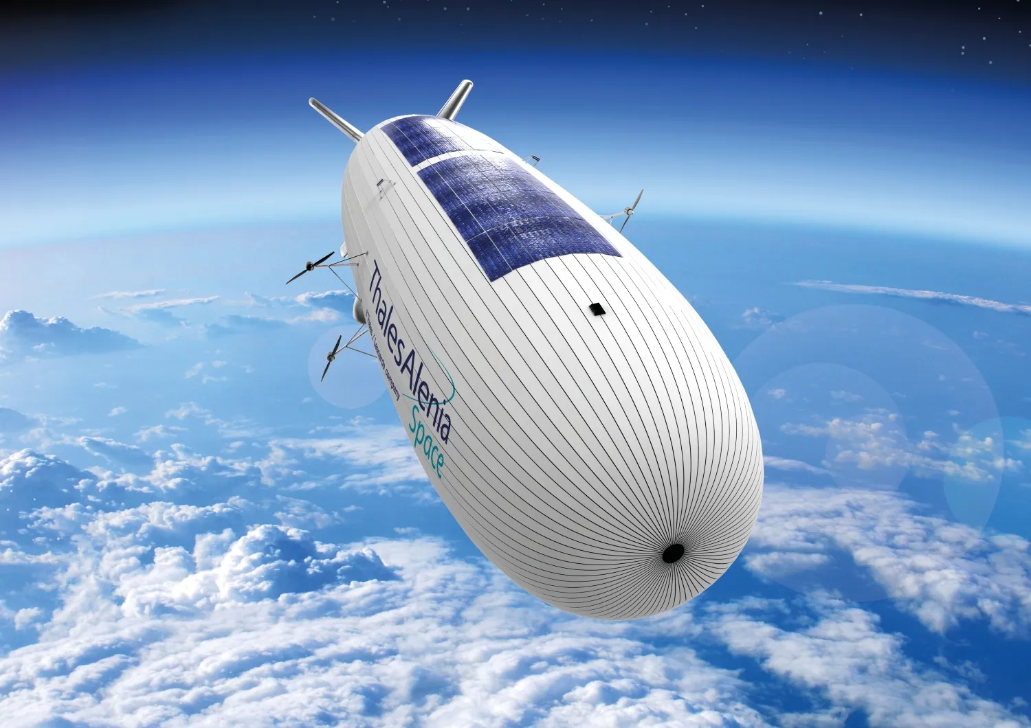
Thales Alenia Space is prime contractor for the highly innovative Stratobus. This autonomous, multimission stratospheric airship is the perfect complement to satellite systems and the missing link between drones and satellites. Designed to undertake regional civil and military telecommunications, navigation and Earth observation missions, the Stratobus airship operates at an altitude of 20 kilometers — safely above regular air traffic and jet streams.
Powered by solar energy, it will perform extended missions, up to a year, above any kind of zones such as seas, deserts, mountains or rain forests without any need of local ground infrastructure. It features numerous breakthrough technologies including a highly resistant envelope material, lightweight solar arrays and batteries, specific flight management system, to name a few…
A technological break compared to other High Altitude Pseudo Satellites, the airship doesn't require any launcher. It could meet the requirements of armed forces and civil security agencies, for instance by providing constant surveillance of a predefined regional coverage zone. A perfect complement to Copernicus program, Stratobus will also be used for environmental monitoring applications including pollution monitoring, fire detection and many more.