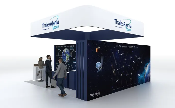

From March 23 to 26, Thales Alenia Space will showcase its latest technologies at the 2026 International Conference in Washington, D.C. At our booth, our experts will highlight our wide range of solutions in the fields of Earth observation, telecommunications, and satellite navigation systems.
Space to Secure and Defend
Increased Sovereignty Imperatives in Europe and beyond
With the return of high-intensity conflicts, new needs and use cases are emerging for defense, especially in secure telecommunications, Earth observation and satellite navigation. In recent months, numerous nations across Europe and around the world have turned to the European space ecosystem to acquire the means to safeguard the sovereignty and autonomy of their space capabilities.
Demand for defense telecommunications systems is surging. Nations are seeking robust, resilient and trusted solutions — hardened against hostile parties — to support their governmental bodies and armed forces. Drawing on its proven and unique expertise in “milsatcom” systems, complex telecommunications systems, and constellations, Thales Alenia Space offers satellite telecommunications products tailored to the needs of the commercial, defense, and government sectors, thanks to a wide range of state-of-the-art payload solutions manufactured in Europe, secured from design throughout the entire manufacturing process.
In Earth observation for surveillance applications, Thales Alenia Space delivers advanced high and very high-resolution optical and radar payloads and constellation solutions combining pinpoint accuracy and high revisit rates, coupled with a multifunction ground segment.
High Revisit Approach for Near Real-Time Surveillance
Our company has capitalized on its expertise in optical and radar observation systems and telecom constellations to address new market segments, especially space surveillance and Earth observation at high revisit rates.
For example, our company will supply 13 satellites for Italy’s IRIDE observation constellation, including 12 synthetic aperture radar (SAR) satellites and a high-precision optical satellite.
Thales Alenia Space has also launched its advanced ALL-IN-ONE Earth observation solution, which combines optical and radar microsatellites to guarantee high revisit rates and control capabilities for near real-time surveillance day and night, in all weathers. We secured our first order from Indonesia in 2023 with a significant contract that entered into force end of last year. ALL-IN-ONE is one of the leading surveillance options for nations seeking to safeguard their space sovereignty.
Eagerly Awaited IRIS² Constellation

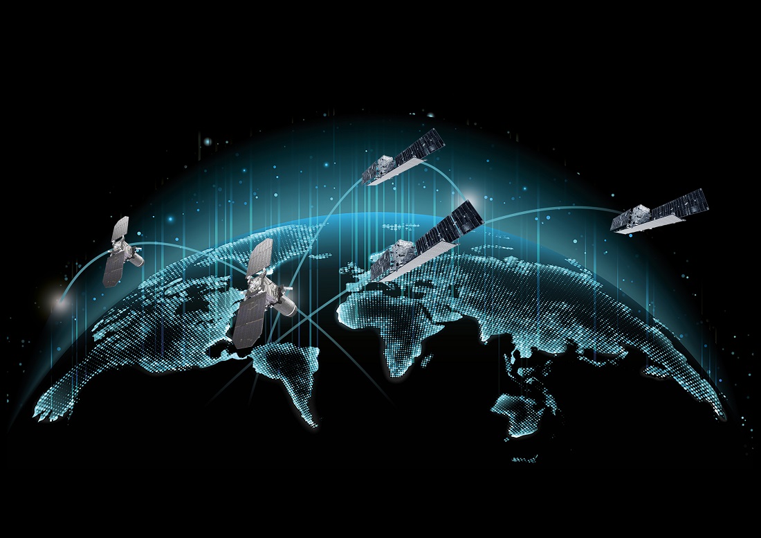
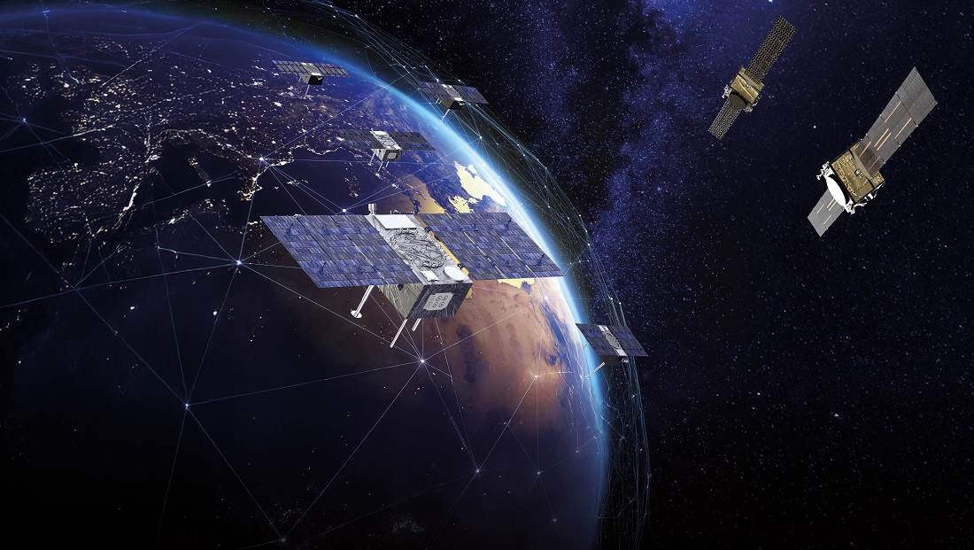
The future IRIS² secure telecoms constellation will be the new standard-bearer for Europe’s independent and sovereign space capability. This system will comprise at least 282 satellites — 264 in low Earth orbit (1,200 km) and 18 in medium Earth orbit (8,000 km) — each orbit layer having satellites inter-connected via high data rate optical links and addressing the users on-ground in a multi-orbit coherent approach. IRIS² will provide secure government communication services for civil protection and emergency management agencies, defense and security communications and commercial B2B and B2G services.
Beyond connectivity, IRIS² will be the backbone of other space-based Earth observation and navigation infrastructure in Europe and will serve as a data transmission relay. This dual-use system will feature disruptive technology, with total control over data and an unprecedented level of security to meet the cybersecurity challenges ahead. Offering native 5G capability, IRIS2 will employ smart payloads with active antennas to ensure precise pointing and maximum signal power over specific regions of interest.
Latest key orders:
Our company was selected last summer by the consortium of operators SpaceRise (SES, Eutelsat, Hispasat) for the initial phase contract to design and derisk the IRIS² system and secure payload solutions. With three constellations to its credit and new technologies already in the pipeline, Thales Alenia Space is ready to devote the full range of its expertise to this program, which is vital to Europe’s sovereignty and independence in space.
We were also chosen by GovSat (LuxGovSat S.A.), a public-private joint venture between the Luxembourg government and satellite operator SES, to build its future geostationary defense telecommunications satellite, GovSat-2. Providing secure and jam-resistant telecommunications services, this satellite will strengthen Luxembourg's sovereignty in the field of defense satellite telecommunications.
Space to Connect:
Made-to-measure solutions for operators
Thales Alenia Space offers a wide range of solutions tailored to the different expectations of the telecommunications market, for both civil and defense applications. The company offers three product lines for geostationary orbit: Spacebus B2, particularly suited to regional operators; Spacebus NEO, a powerful electrical satellite solution that provides very high-speed Internet; and Space INSPIRE, a fully digitalized satellite that can be reconfigured in orbit. These three solutions provide concrete answers to operators on a case-by-case basis, serving connectivity, mobility and the bridging of the digital divide.
In the telecommunications market, 10 geostationary satellites were ordered in 2025, including 8 on the open market. Thales Alenia Space won several contracts last year: THOR 8 for the Norwegian operator Space Norway and JSAT-32 for the Japanese operator SKY Perfect JSAT, both of which are included in the 2025 fiscal year. In addition to these 2 civil satellites, we were awarded the supply GovSat-2 milsatcom satellite for GovSat (Luxembourg) as mentioned before.
Moreover, we are developing the optical solutions of tomorrow such as Solis with the French Space Agency CNES and France 2030 program, Hydron with the European Space Agency (ESA) or the QKD-GEO mission with Spanish space agency, CDTI and Hispasat.
The multi-layer approach
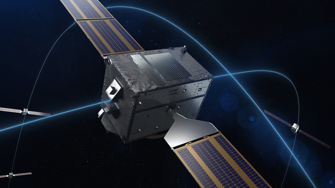
Telecom satellites are crucial for connectivity and sovereignty. Operators appear to be adopting a multi-orbit model combining the advantages of GEO, MEO and LEO, and the multi-use concept also has established itself in the constellation arena. The flexibility to reconfigure satellites in orbit is now a priority for the world’s leading operators. And besides commercial requirements already identified, governments are starting to incorporate these solutions in their plans, as shown by the European Union’s flagship IRIS2 constellation project or ESA’s Celeste project to enhance the performance and integrity of the Galileo satellite-based navigation constellation.
Space to Travel and Navigate:
The field of navigation is expanding, due to its crucial role in the development of new civil, military, and dual-use applications. Today, space navigation is more than ever a cornerstone of national sovereignty.
One of the European Union’s flagship space programs, EGNOS, was designed to improve the accuracy and reliability of GNSS signals such as GPS and Galileo. Its “Safety of Life” services are essential for providing the integrity and accuracy required in the transportation sector, particularly in aviation. Thales Alenia Space is the only manufacturer to deploy enhanced navigation systems for the exportation market based on EGNOS legacy: in Korea with KASS and in Africa through its cooperation with ASECNA. The company is strengthening its position within Galileo Second-Generation program (6 out of 12 satellites + ground mission segment) and plays a central role in ESA’s Celeste demonstration program.
Delivering centimeter-level precision for accurate geolocation applications
The Celeste In-Orbit Demonstrator (IOD-2) satellite, built by Thales Alenia Space, is getting ready for launch. It should be orbited in the days to come by RocketLab, from New Zealand.
IOD-2 is part of ESA’s Celeste demonstration constellation, which will include a total of 11 spacecraft in orbit. As prime contractor, Thales Alenia Space is developing five microsatellites. A large CubeSat the size of a suitcase weighing around 30 kg, IOD-2 will validate the system definition and enable early signal transmission, while de-risking and demonstrating the core technologies for future Celeste satellites.
Built on a multi-orbit approach, Celeste will work alongside Galileo and other satellite navigation systems to deliver centimeter-level geolocation accuracy, improved robustness, strong resistance to jamming and spoofing and low latency (fast signal acquisition). This future constellation will pave the way for new applications, including highly autonomous vehicles by providing continuous coverage in dense urban areas, the Internet of Things (IoT), unmanned aerial and maritime systems (UAS/MUS), and new services in particularly demanding environments that can impair the performance of existing systems — such as urban canyons, dense foliage, polar regions and even indoor spaces — as well as synchronization of terrestrial 5G/6G telecommunications networks.
Stratobus: Midway Between Satellite and Drone
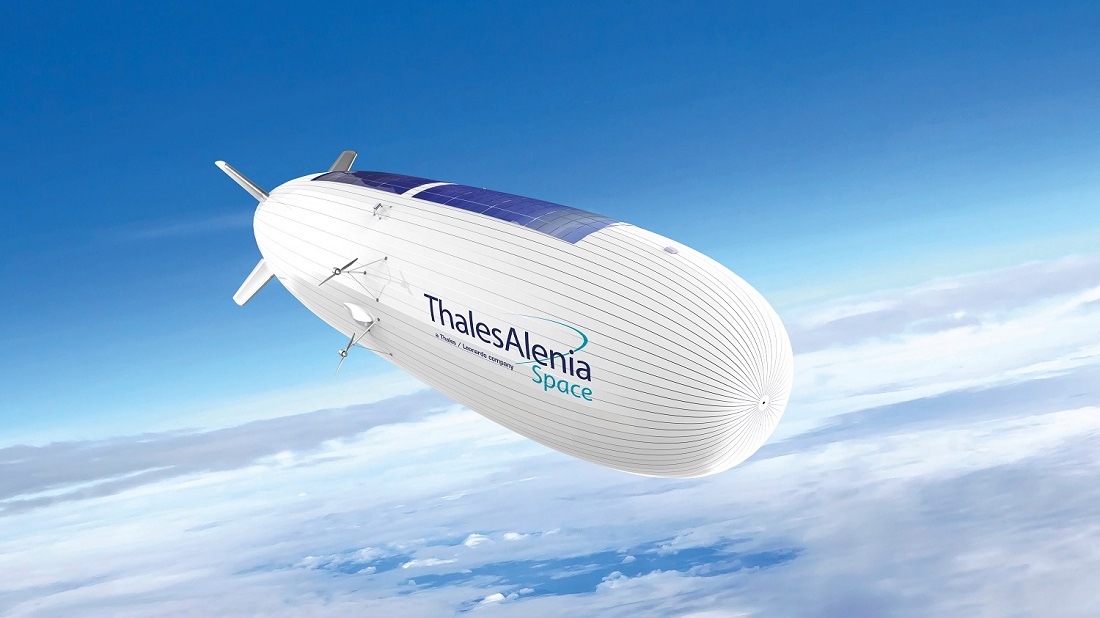
Also making the trip to Washington is Stratobus — an airship packed with innovations. This autonomous, multimission stratospheric platform is the perfect complement to satellite systems and the missing link between drones and satellites. Designed for regional operations, Stratobus flies at an altitude of 20 kilometers, above jet streams and air traffic. It is aimed at civil and military communications, navigation and observation applications.
Stratobus is a technological game changer and doesn’t require a launcher. It will serve armed forces and civil protection agencies, offering a continuous presence across regional coverage areas. As the ideal companion to the Copernicus space-based monitoring program, Stratobus will also support environmental surveillance applications, notably pollution monitoring and wildfire detection.
Would you like to find out more about what we do? Come and meet our experts at the Thales Alenia Space stand during the exhibition!