Today is World Oceans Day, the United Nations day to celebrate the role of oceans in our daily lives and inspire actions to restore and protect the oceans and sustainably use marine resources.
Satellites "see the sea" in unrivaled ways
The theme for World Oceans Day 2020 is "Innovation for a Sustainable Ocean," with a specific focus on sustainability as a reminder to consider the critical benefits of space for Earth. Space-based systems have observed the Earth and the oceans that cover more than 70 percent of our planet’s surface for more than 50 years. At the same time, the space sector has driven innovative solutions that benefit everybody down on Earth.
A unique vantage point

Circling the Earth in various orbits, satellites deliver information than would be impossible to gather from the surface.
Scientists and governments need reliable data to understand how our planet is changing and tackle the climate change challenge. Since shortly after the beginning of the space era, Earth observation satellites have gathered critical data to help us meet global challenges.
The Covid-19 pandemic has provided compelling proof of how closely our fate is linked with the health of the natural world – and satellites are operating 24-7 to support people around the world.
While the stunning images from satellites reveal Earth in all its beauty, they also highlight how global warming and other changes are affecting our world.
Satellites have recently tracked rapidly melting ice in Greenland and Antarctica, acquired images of the Hofsjökull glacier in Iceland, mapped wildfires and monitored damage caused by cyclones.
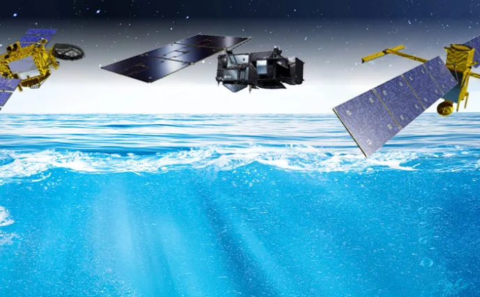
A world leader in altimetry

Thales Alenia Space is a world leader in space altimetry, a technique that lets us study sea surface height, sea ice thickness and river and lake levels, as well as land, ice sheet and seabed topography.
Our company has provided a whole host of instruments for oceanography, like the Poseidon altimeters on the Topex-Poseidon and Jason 1, 2 and 3 missions for the French space agency CNES. We also built the AltiKa Ka-band altimeter for the French-Indian SARAL oceanography satellite, and the SIRAL 2 very-high-resolution SAR (synthetic aperture radar) altimeter on ESA’s Cryosat-2 satellite, capable of measuring variations in sea ice thickness and continental ice mass balance with unparalleled accuracy. In addition, we supply the SRAL SAR altimeters for Sentinel-3. Other examples include the MERIS multispectral optical “water color” spectrometer on the Envisat satellite and the OLCI instrument on Sentinel-3, the SWIM altimeter on the CFOSat satellite for CNES, which measures wave spectra, and the SADKO altimeters on Russia’s GEO-IK satellites.
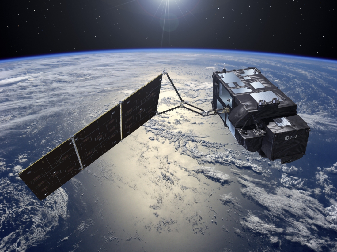
Built by Thales Alenia Space on behalf of ESA within the scope of the European Union’s Copernicus program, Sentinel-3 satellites are dedicated to a wide range of applications. They will be useful in monitoring maritime transport, for example by detecting icebergs, and measuring the height and movement of waves. This is vital data, enabling us to improve maritime safety. Sea and ocean color data are also crucial to measure sea and land surface temperatures and to identify areas with algae and phytoplankton – information that will prove invaluable to the fishing industry and support the detection of algal bloom pollution.
At the same time, services based on Sentinel-3 data will greatly benefit agriculture. Having accurate and up-to-date information is an ideal way to help farmers monitor any changes in their crops and land use.

Thales Alenia Space has contributed to some of ESA’s landmark scientific missions: the MERIS medium-resolution spectrometer on Envisat to reveal the secrets and colors of the oceans, GOCE (gravity field and steady-state ocean circulation explorer), which will provide a detailed map of Earth’s gravitational field, and the SMOS satellite for the analysis of soil moisture and ocean salinity.

Our teams are also working on the state-of-the-art SWOT oceanography satellite for CNES and NASA.
Copyrights: © Thales Alenia Space/Briot - © ESA - © NASA - © CNES