Satellites at the heart of environmental monitoring missions
On World Environment Day, and three days before World Oceans Day, we felt it important to reiterate the key role of certain satellites in environmental monitoring.
Our planet is feeling the full effects of global warming, with severe weather and climate-related events on the up every year. From flooding in Libya to catastrophic wildfires in Canada, drought in Spain, sea-ice retreat and climate refugees, 2023 brought a raft of gloomy news stories. According to the United Nations, natural disasters have increased fivefold in the space of 50 years, and combating climate change has become the major challenge of the 21st century. The latest IPCC report predicts that global temperature is likely to rise a further 1.5°C by 2030, bringing climate disruptions and disasters around the world. At a time when the climate emergency has become a key concern, it’s vital that we have readily available science data to inform decisions.
Satellites are today crucial to acquiring unprecedented and reliable data on our planet’s health. These data form the foundation for scientific research worldwide: 60% of the essential climate variables (ECVs) on which panels of experts rely are measured by satellites. True to its Space for Life vision, Thales Alenia Space is closely involved in building environmental monitoring satellites while driving innovation to make space as sustainable as possible.
Satellites surveying the environment from space
Copernicus: the Space Sentinels

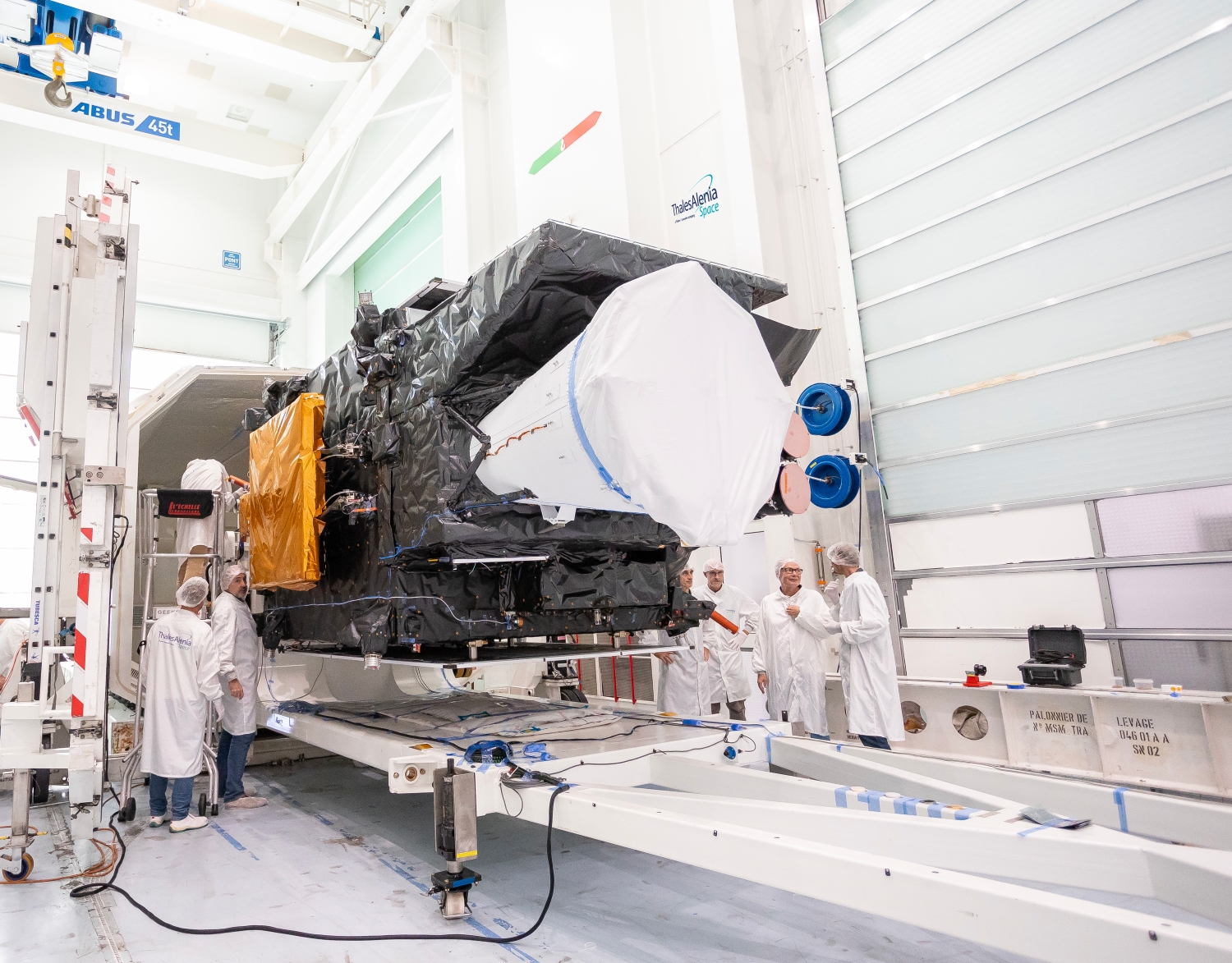
© Thales Alenia Space
Copernicus, a joint initiative of the European Commission and the European Space Agency (ESA), is the most ambitious program ever dedicated to monitoring the environment. It comprises 12 families of satellites designed for a range of missions spanning oceanography, meteorology, carbon emissions, glaciers, subsidence and more. These missions are collecting unprecedented data on the environment thanks to a wealth of innovations, advancing our understanding of the changes we’re seeing and helping to mitigate large-scale climate phenomena.
For example, the CO2M mission aims to measure the proportion of human-induced carbon dioxide in the atmosphere with unprecedented precision, enabling us to gauge the environmental impact of certain sectors of activity and to identify emission sources. Copernicus is also planning other missions like CHIME to aid sustainable agriculture and LSTM to measure Earth’s surface temperature, while CRISTAL is set to survey the thickness of sea ice, polar ice caps and glaciers all over the globe — key parameters for understanding and analyzing the direct consequences of global warming. Lastly, ROSE-L will help to manage forests more sustainably by tracking soil moisture and subsidence.
 Copernicus © Thales Alenia Space
Copernicus is thus an essential ally in the pursuit of international goals, notably those set by the European Green Deal adopted in 2019, which aims to achieve a 55% reduction in the European Union’s greenhouse gas emissions by 2030 with respect to 1990 levels.
Thales Alenia Space is working on 11 of the Copernicus program’s 12 missions. We’ve been selected as prime contractor for Sentinel-1 and Sentinel-3, as well as for CIMR, ROSE-L and CHIME, three of the six new Copernicus Expansion missions. We’re also in charge of the image ground segment for Sentinel-2, have contributed to the imaging spectrometer for Sentinel-5P, and built the radar altimeter for Sentinel-6. In addition, we’re supplying the payloads for the CO2M and CRISTAL satellites.
Meteosat Third Generation: the gold standard in geostationary weather forecasting

First MTG imaging satellite © Thales Alenia Space/Imag[IN]
Meteorology data is key to studying climate change and anticipating its consequences. Like for the two previous generations, Thales Alenia Space is prime contractor for the Meteosat Third Generation (MTG) program, for which we’re building four imagers and two atmospheric sounding instruments.
With MTG, images will be refreshed every 10 minutes from any point on the globe, and every two minutes and 30 seconds from Europe, heralding a revolution for modern meteorology that’s set to significantly improve weather forecast accuracy. The imaging instruments also feature a lightning detector, built by Leonardo, to anticipate severe storms and give early warning to the relevant authorities, while the satellites’ atmospheric sounding instruments will make it possible to map the atmosphere in 3D. The first satellite of this new generation will acquire data to support tracking of wildfires and severe storms.
The first imaging satellite in the MTG fleet was successfully launched by Arianespace in December 2022 and unveiled its first image in May last year. The MTG fleet will comprise four imaging satellites (MTG-I) in all and two atmospheric sounding satellites (MTG-S). Once all the satellites are in orbit, Eumetsat will be getting the most sophisticated weather forecasting services there are.
SWOT: surveying the world’s oceans, rivers and lakes

SWOT © Thales Alenia Space/Imag[IN]
The world’s oceans are estimated to absorb nearly one-third of human-induced carbon dioxide emitted every year. Gaining deeper insights into how the oceans and atmosphere interact is therefore crucial to preserving our planet: this is the mission of the SWOT satellite (Surface Water and Ocean Topography), a joint initiative of CNES and NASA for which Thales Alenia Space is the lead industry partner.
SWOT is dedicated to measuring surface water levels in lakes and rivers and river discharges, and to acquiring highly precise and detailed data on ocean topography. It features unprecedented technological innovations and is based on a major disruptive technology, namely the KaRIn wide-swath interferometer, designed by NASA’s Jet Propulsion Laboratory (JPL), for which Thales Alenia Space built the radio-frequency assembly.
This mission, thanks to the dual-frequency Poseidon altimeter built by Thales Alenia Space, will enable us to sound 90% of the world’s oceans, seas, lakes, and reservoirs.
SWOT is the first satellite featuring a controlled atmospheric reentry system to avoid generating space debris at the end of its life. Successfully launched in 2022, in March 2024 it beamed back images of unequaled precision, setting a new standard for Earth observation and revolutionizing the science of hydrology.
Making space more sustainable through on-orbit servicing

On Orbit Servicing © Thales Alenia Space/E.Briot
At Thales Alenia Space, we believe space must become more sustainable, so preserving space and sustaining space infrastructures for the future is today central to everything we do. To this end, our teams are developing solutions to enable on-orbit servicing by spacecraft with the ability to perform a range of robotic tasks (repairs, inspections, de-orbiting of space debris and refueling). These spacecraft equipped with latching grapple tools and robotic arms will also be able to carry out specific maintenance operations to extend satellite life. Thales Alenia Space is today the European leader in on-orbit servicing, having signed a contract with the European Commission in 2022 to coordinate the EROSS IOD (European Robotic Orbital Support Services In-Orbit Demonstration) program. We’ve also signed a €235-million contract with Italian space agency ASI to design, develop and qualify a spacecraft for an on-orbit servicing demonstration mission planned to launch no later than 2026.


