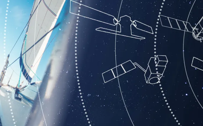
Thirty-three intrepid sailors set off from Les Sables-D'Olonne in western France on November 8 to take part in the Vendée Globe, a non-stop, solo race around the world for state-of-the-art racing yachts. They will cover an astonishing 24,000 nautical miles (about 44,000 kilometers) down the Atlantic, into the heart of the Southern seas… and back! It’s one of the most challenging sporting events ever. These single-handed navigators will face daunting situations at sea, from atrocious weather, high seas and icebergs, to mechanical mishaps, solitude and much more. But they all enjoy a hidden helper, since more than 100 satellites are tracking their circumnavigation of the globe. Below, we explain how satellite-based technologies keep an eye on the skippers, and may even be called on to save lives!
Space angels
Throughout the nearly three months of the race, satellites:
• Determine boat positions to establish the rankings
• Enhance safety, by picking up distress calls and reporting icebergs
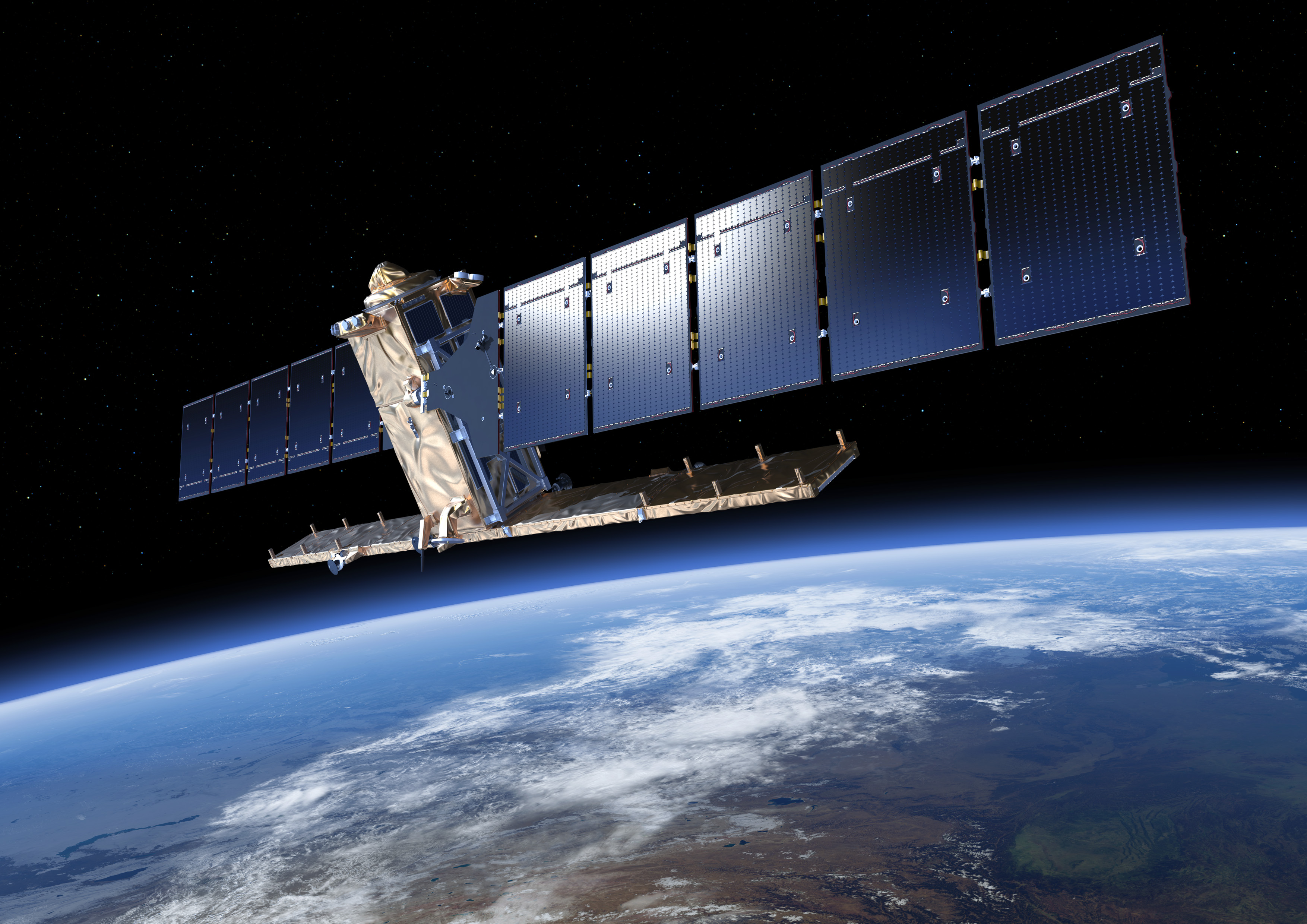
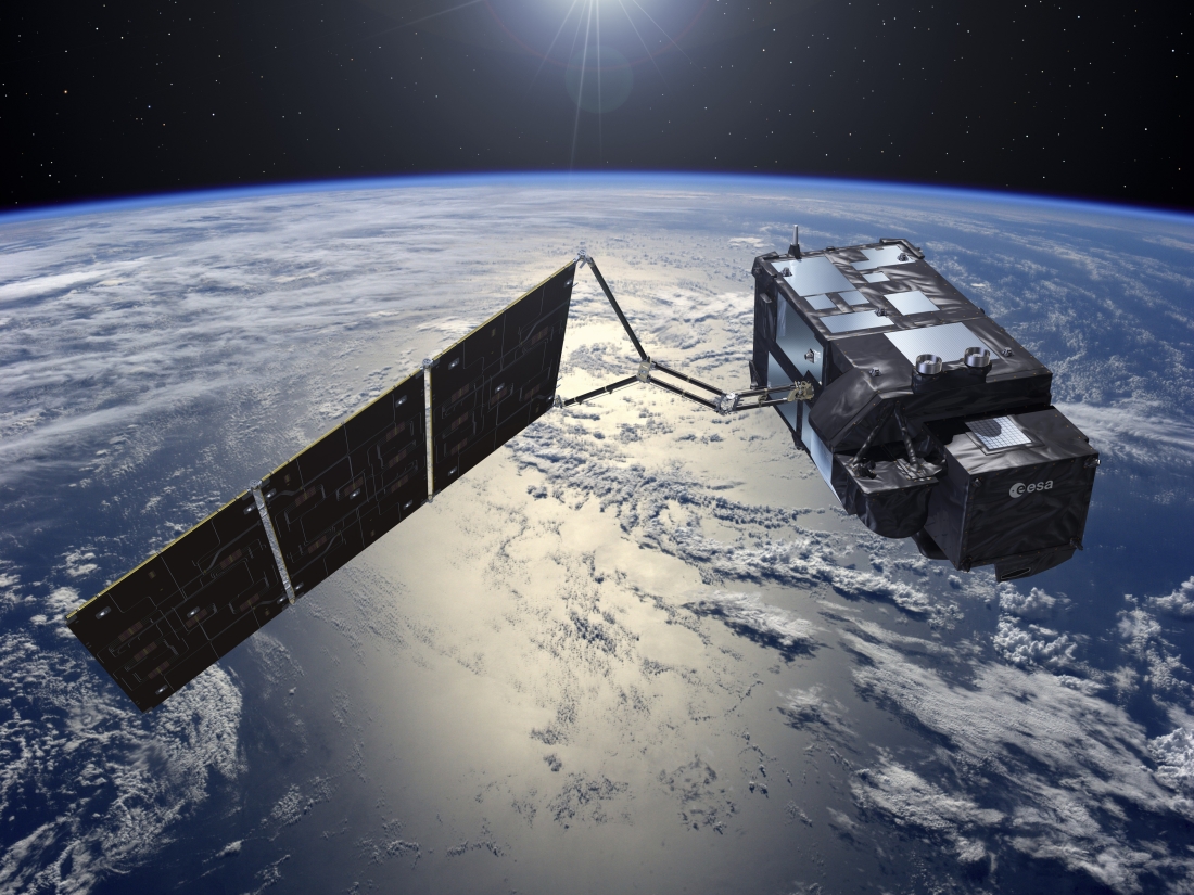
• Provide navigation assistance, via wind, sea current and weather data (Meteosat and Jason satellites). All Meteosat satellites, from the first to the third generation, have been built by Thales Alenia Space as prime contractor. We are also the industrial architect for Jason oceanography satellites. These latest satellites feature Poseidon radar altimeters, a family that has truly revolutionized space-based altimetry. Thales Alenia Space is the world leader in this technology, which delivers high-precision information on sea surface height, sea ice thickness and river and lake levels, as well as land, ice sheet and seabed topography.
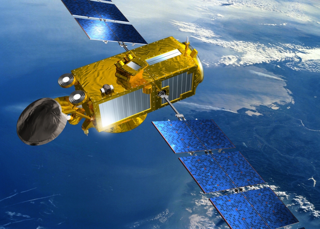
• Relay communications with skippers: data, video and photo transfer, etc. For example, some ships are fitted with a state-of-the-art satellite communications system comprising the Thales VesseLINK and Iridium Certus service. Skippers enjoy global and reliable ship-to-shore connectivity – whether in the Atlantic or the wilds of the Southern seas – for data, voice, text and image communications, plus safety applications. All of these services are made possible by Iridium NEXT satellites, built by Thales Alenia Space as prime contractor. Iridium NEXT is the largest low-orbit satcom constellation in the world, comprising 66 interconnected satellites at an altitude of 780 kilometers. A global network providing unparalleled capacity for communications on the move, whether for individuals, land vehicles, ships or planes, Iridium NEXT offers true planetary coverage, including the oceans and poles.
Keeping an Eye on Icebergs
As if the fierce winds and huge swells weren’t enough, racers have to watch out for icebergs. In the remote Southern seas, satellites are the only way of effectively detecting and monitoring icebergs. Europe’s vast Copernicus Earth monitoring program, comprising a number of advanced satellites, has established an ice exclusion zone to keep sailors safe from icebergs. Moreover, satellites are mapping the changing ice masses in the Antarctica before sailors pass through.
CLS—a subsidiary of the French space agency CNES and investment company CNP—uses data from various Copernicus satellites to detect icebergs, including radar birds such as Sentinel-1 and those with altimeters, such as Sentinel-3.
Spaceborne radar captures land and sea images day or night, through clouds and rain, making it ideal for monitoring icebergs.
Altimeters measure the height of the sea surface, including floating ice. These instruments have been used to study Arctic and Antarctic ice and experts are able to recognize an iceberg’s signature in altimetry data. CLS is currently using data from a number of satellites to monitor the Vendée Globe: the ESA/NASA Jason-3, the French–Indian Saral/Altika satellite and the two Copernicus Sentinel-3 satellites.
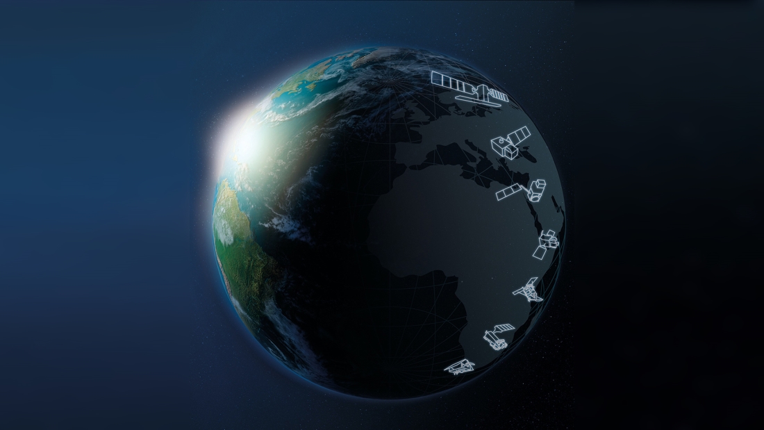
Thales Alenia Space is a lead partner in the Copernicus program, conducted by the European Commission in conjunction with the European Space Agency (ESA). In addition to the six current Sentinel missions, Copernicus is expanding the program with six new missions. We have been chosen for five of these missions, leading three as prime contractor (CHIME, CIMR, ROSE-L) and supplying the IRIS altimeter for CRISAL and payloads for the CO2M satellites, which will measure carbon dioxide produced by human activity.
The incredible rescue of French skipper Kevin Escoffier
On November 30, French sailor Kevin Escoffier was in deep trouble, after huge waves had split his boat in two. He just had time to put on a special survival suit, protecting him from the cold water. Fortunately, he was able to trigger one of his Cospas-Sarsat emergency beacons, sending a text message before boarding his lifeboat. "Have you ever seen films about shipwrecks? Well, it was like that, only much worse!” said Kevin after being rescued.
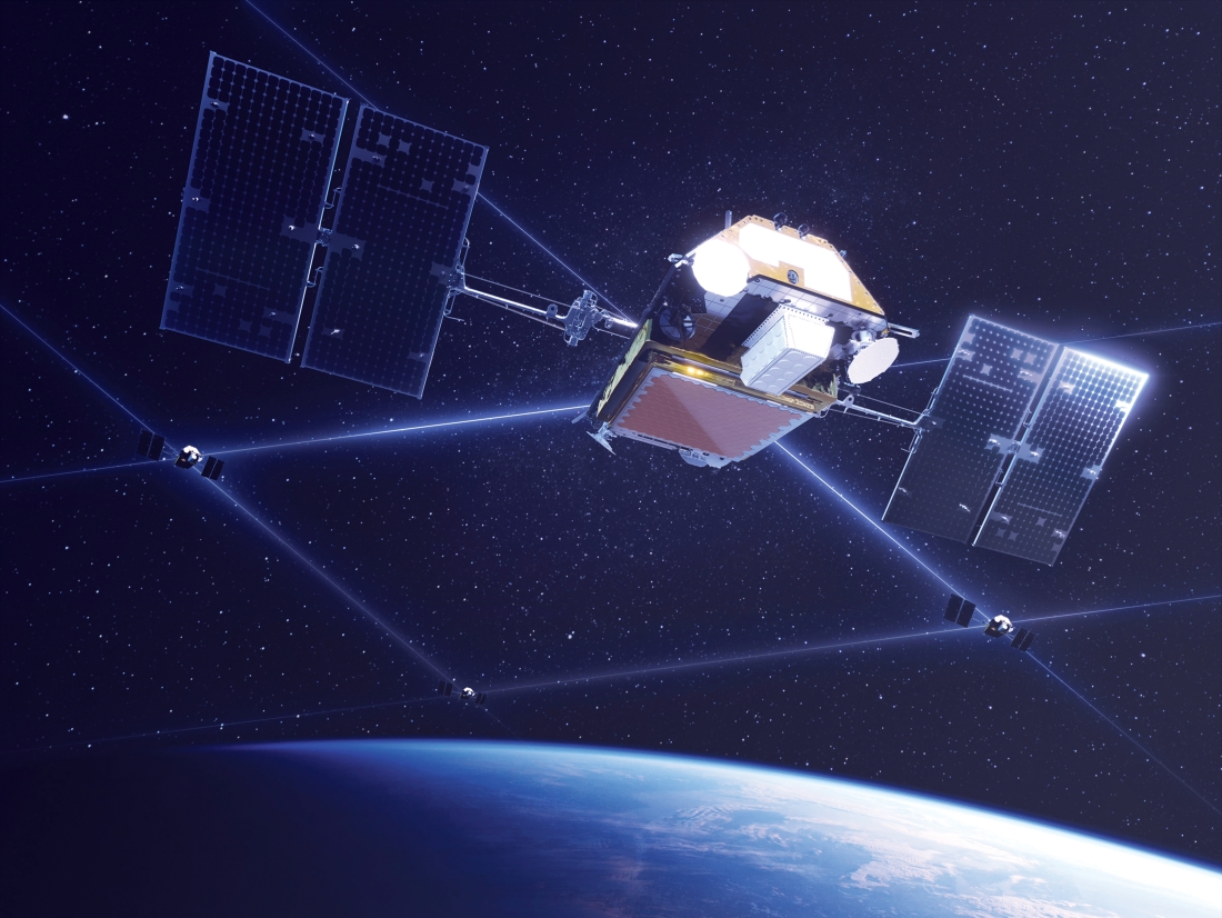
At 13:48 UTC, soon after the rapid sinking of his boat, Galileo satellites detected Kevin’s distress signal.
Three minutes later, at 13:51 UTC, the signal was detected and located by the MEOLUT Next ground station in France, based at CNES, and was rerouted to the CNES control center.
It took another 11 hours, but Kevin was finally picked up by rival skipper Jean Le Cam, nicknamed "King" Le Cam, who changed course and put his race on hold to fly to the rescue.
Thales Alenia Space’s Meolut NEXT ground system, part of the Cospas-Sarsat search and rescue (SAR) system, helped locate Kevin’s distress signal from a distance of 9,000 kilometers.
This heroic rescue once again shows how space-based technologies help us down on Earth, all the way to saving lives!
Stay tuned for more “Space for Life” Chronicles.
Copyrights: Artistic views © ESA - © CNES - © Thales Alenia Space/Briot - © Thales Alenia Space/Master Image Programmes - Video © Thales Alenia Space/Le_Lokal/Including sequences from European Commission website