More than 42,000 people have died across Turkey and Syria since a devastating 7.9 magnitude earthquake struck on February 6, 2023. In disasters like this, international cooperation on satellite imaging is a key to rescue efforts.
Data from satellites enable humanitarian organizations to more effectively deliver water and food by mapping the condition of roads, bridges, buildings and, most crucially, identifying people trying to escape potential aftershocks by gathering in open spaces.
To quickly make use of satellite capabilities, the Turkish Disaster and Emergency Management Authority (AFAD) requested the activation of the international charter on “Space and Major Disasters”.
By combining Earth observation assets from different space agencies, the Charter provides satellite images of the affected areas. Radar imagery from satellites also allows scientists to analyze the impact on land. ESA’s Sentinel-1 mission, part of European Commission’s Copernicus program dedicated to environmental monitoring, carries a radar instrument that can ”see” conditions on the ground day or night and even through clouds.

© ESA
This image shows how the Earth’s surface has been deformed by the earthquake. Each fringe is equivalent to about 5 centimeters (Sentinel-1’s wavelength) and more than 60 fringes can be detected. This means that the two sides of the big Anatolic fault have moved at least 3 meters in relation to each other. From images like this, geologists have estimated peak displacements up to about 10 meters in most irregular areas. Which makes it easy to understood how even robust buildings cannot support this degree of deformation, leading to a huge loss of lives.
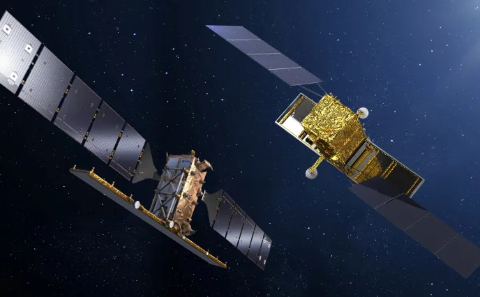
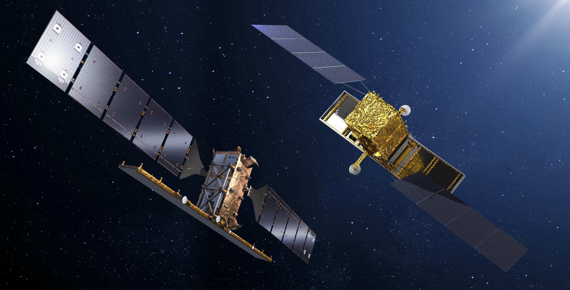
Sentinel-1 and COSMO-SkyMed on call
© Thales Alenia Space
The powerful radars on the Sentinel-1 and COSMO-SkyMed* satellites provide a rapid assessment of the impact on any region, as well as detailed images of the specific areas where damage occurs. They both use synthetic aperture radars (SAR) that can “see” through clouds day or night and in any weather, and can measure ground movements to within a centimeter.
The regular acquisition of data allows us to better understand these types of phenomena. Perhaps one day scientists will be able, if not to forecast disasters, at least to identify the areas we must focus on to save human lives. Thales Alenia Space’s thoughts are with those impacted by the earthquake in Turkey and Syria.
* Developed by the Italian Space Agency in cooperation with the Ministry of Defense