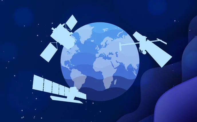
Climate stakes were high on the agenda as the COP 28 conference got underway in Dubai on November 30. With environmental data increasingly vital to provide deeper insights into climate phenomena, satellites are a key asset, currently used for measuring nearly 60% of the essential climate variables (ECVs) tracked by experts. This event is therefore a new opportunity for Thales Alenia Space to showcase the programs it is working on.
We spoke to Frédéric Pistone, in charge of our environmental monitoring, oceanography and meteorology product lines.
Can you outline the Copernicus program for us?

© Thales Alenia Space
Copernicus is a very ambitious European program pursued jointly by the European Commission and the European Space Agency (ESA) to establish a space infrastructure capable of monitoring Earth’s land surfaces, water and atmosphere. The program comprises 12 families of Earth-observing satellites packed with optical and radar sensing technologies. Copernicus also encompasses climatology missions that aim to measure human CO2 emissions and foster new applications supporting sustainable agriculture and biodiversity. A program of this scale is crucially important for Europe, seeking to shed new light on our changing climate and anticipate the effects of global warming in order to protect and conserve the planet.
The program started with six families of Sentinel satellites, subsequently complemented by six new Copernicus Expansion missions.
Thales Alenia Space is contributing to 11 of these 12 missions. We’re prime contractor for the Sentinel 1 and Sentinel 3 missions, and for three of the six Copernicus Expansion missions, CIMR, ROSE-L and CHIME. We’re also in charge of the image ground segment for Sentinel 2, we helped develop the imaging spectrometer for Sentinel 5P, we provided the radar altimeter for Sentinel 6, and we supply the satellite payloads for the CO2M and CRISTAL missions.
What kinds of applications does Copernicus support and how do they help protect the environment?
© Thales
Copernicus features a host of innovations for collecting unprecedented environmental data. The CO2M mission is a particularly good example.
This mission aims to measure how much of the carbon dioxide in the atmosphere is being generated by human activities. Identifying the causes and proportions of CO2 emissions will enable us to ascertain how much is in our atmosphere and track any changes. It will also allow us to verify implementation and compliance with national regulations and international targets, giving the European Union a unique and independent source of information to consolidate reporting and control its carbon footprint. The CO2M program is aligned with the aims of the European Green Deal launched in 2019 to cut the EU’s net greenhouse gas emissions by at least 55% by 2030 compared to 1990 levels.
Copernicus also encompasses other environmental monitoring missions, such as CHIME, which is aiding sustainable management of farming, and LSTM (Land Surface Temperature Monitoring). CRISTAL will measure and monitor sea-ice thickness, overlying snow depth and ice-sheet elevations around the globe, key to understanding and analyzing the direct consequences of climate change. And ROSE-L will help to manage forests more sustainably by monitoring soil moisture and surface displacements.
The data collected by all of these missions will yield a wealth of information on Earth’s environment.
Copernicus is basically unmatched anywhere in the world. It affords an exceptional opportunity for the European Commission and ESA to demonstrate their space technology skills and expertise, along with their ability to innovate. It’s a premier program, spotlighting Europe’s environmental surveillance ambitions and ability to advance scientific knowledge.
Can you tell us about the Meteosat Third Generation program and how it’s set to innovate?
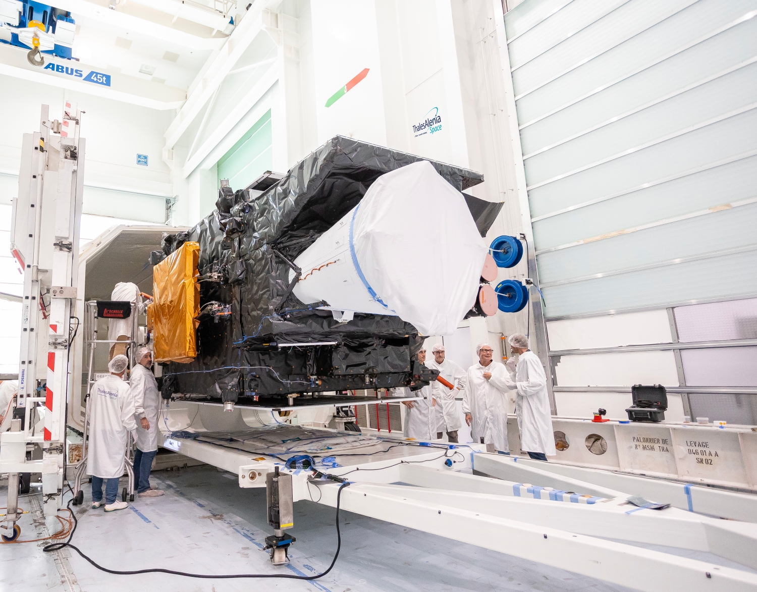
First MTG imaging satellite © Thales Alenia Space/Imag[IN]
Like for the two previous generations, Thales Alenia Space is the lead contractor for the Meteosat Third Generation (MTG) program. MTG combines two types of satellites: four imaging satellites (MTG-I) and two atmospheric sounding satellites (MTG-S).
The first imaging satellite, MTG-I1, successfully launched by Arianespace on December 13, 2022, captured its first image of Earth in May. It’s the first in a new generation of satellites set to deliver data that, for example, will support wildfire surveillance or forecasting of severe storms. Weather forecasts will be more accurate and reliable as a result.
These new objectives have driven a number of innovations. First, imagery will now be refreshed every ten minutes worldwide — versus 15 minutes for the second generation and 30 minutes for the first — and the instruments will scan Europe every two minutes and 30 seconds at high resolution. The imaging satellites are also carrying a unique Lightning Imager (LI), built by Leonardo, for early detection of severe thunderstorms likely to put communities at risk.
The MTG-S satellite and its atmospheric sounder built by OHB will enable finer characterization of the total atmospheric column, which will also help improve weather forecasts.
Will analysis of satellite data allow scientists to anticipate major natural disasters?
Yes, satellite data are the foundation for scientific studies all over the world. This new information on Earth’s environment will shed fresh light on climate variables and allow us to gauge the effectiveness of public policies to combat climate change. With regard to people’s safety, MTG data will help predict climate change and disasters, giving authorities more time to inform and protect them. Satellites and their applications play a vital role in saving lives around the world. Given the current state of climate emergency, the ability to deliver this kind of data is revolutionary.
To what extent will understanding oceanographic features tell us more about the climate phenomena we’re now facing?
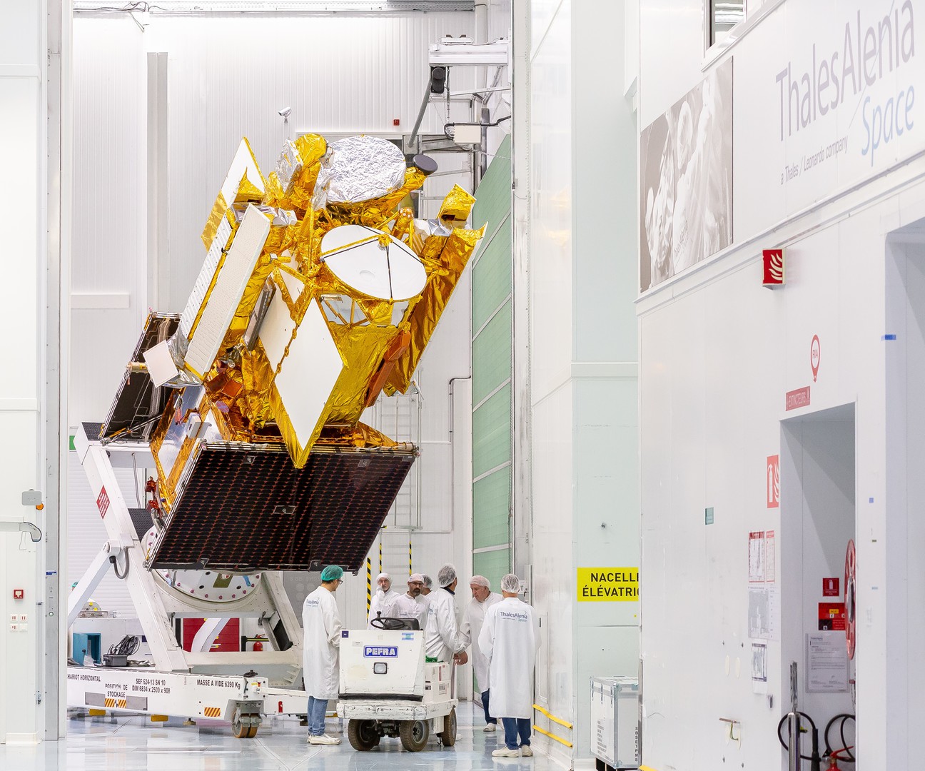
SWOT © Thales Alenia Space/Imag[IN]
About one-third of the carbon dioxide emitted yearly by humans is thought to be absorbed by the world’s oceans. Understanding how the oceans and atmosphere interact is therefore fundamental, and requires fuller and more-detailed study.
SWOT (Surface Water and Ocean Topography), a joint mission of CNES and NASA with contributions from the United Kingdom Space Agency (UKSA) and the Canadian Space Agency (CSA) for which Thales Alenia Space is the lead contractor, will deliver new data on oceans and surface water by measuring water height with extreme precision. This exceptional satellite launched in 2022 will survey 90% of the planet’s oceans, seas, lakes and reservoirs.
Another unique feature of SWOT is that it’s the first satellite with a system designed to control its atmospheric reentry and avoid generating debris at the end of its operating life.
What kind of expertise do programs of this scale call for?
To accomplish this type of mission, Thales Alenia Space can call on its engineering expertise, for example in systems engineering, to manage complex, large-scale programs by breaking them down into easier-to-manage subassemblies. This also involves cutting-edge expertise in thermal, mechanical, optical, electronic, software, radiofrequency, propulsion and space environment engineering, as well as quality assurance.
By building on this expertise, we’re meeting tomorrow’s technology challenges today, and leveraging space innovation to monitor the environment and protect the planet.