
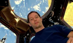
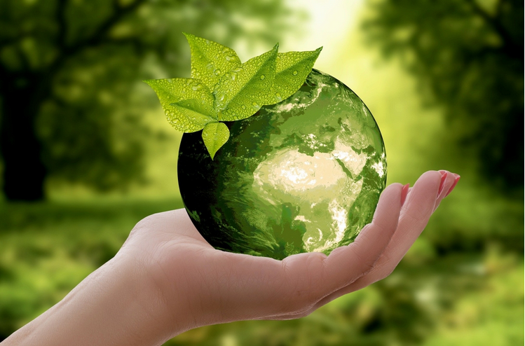
From April 20 to 22, we’re joining the world’s leaders for Earth Day 2021. The theme this year is “Restore Our Earth™”. Here at Thales Alenia Space, we’re keenly aware of the impact of global warming. For over 40 years, our engineers have been providing scientists, governments, institutions and decision-makers with the extensive expertise and solutions needed for environmental monitoring, oceanography and meteorology. Because we’re concerned about climate change, this is the perfect opportunity to take another look at how space technologies can improve our daily lives and protect our planet.
Taking the planet’s pulse

The enormous Ever Given container ship, wedged in Egypt’s Suez Canal, is shown in these images captured by the two Sentinel-1 spacecraft, part of Europe’s vast Copernicus program.
The giant container ship ran aground in the canal on March 23, 2021 en route from China to the Netherlands. The image on the left, captured on March 21, shows routine maritime traffic in the canal with vessels visible every 2 to 3 kilometers. The image on the right, captured on March 25, shows the results of the 400-meter long ship blocking the canal. The blockage has caused a logjam of hundreds of tankers and other vessels in the Gulf of Suez.
The two identical Sentinel-1 satellites keep a constant watch on Earth’s surface, day and night, under all weather conditions, the ideal solution to monitor ship traffic.
The sea surface reflects the radar signal away from the satellite, ma/king the water appear dark in the image. This contrasts with metal objects, in this case the ships, which appear as bright dots against the dark water.
Monitoring crops from space

Millions of people around the world go hungry every day, and the COVID-19 pandemic unfortunately intensified this crisis last year. Satellites help alleviate the situation by providing crucial information to monitor crops from space. The World Food Programme, the United Nations branch responsible for delivering lifesaving food assistance, expects to help 138 million people this year — the highest total in its 60-year history. The food supply chain is facing numerous problems, such as limited labor, transport, cross-border trade and produce availability. The upshot is uncertainty in food markets and therefore food availability in the future. Satellite monitoring is useful, since it provides information on key agricultural commodities. NASA, ESA and the Japanese Aerospace Exploration Agency (JAXA) teamed up recently to create the COVID-19 Earth Observation Dashboard, a platform that combines a wealth of satellite data to monitor the pandemic’s global impact – including agricultural production.
Keeping an eye on Earth
The new Copernicus Hyperspectral Imaging Mission for the Environment (CHIME) will carry a unique infrared spectrometer, operating in the visible to shortwave bands. It will provide hyperspectral observations to support new and enhanced services for sustainable agricultural and biodiversity management, as well as to characterize soil properties, a key to healthy vegetation.
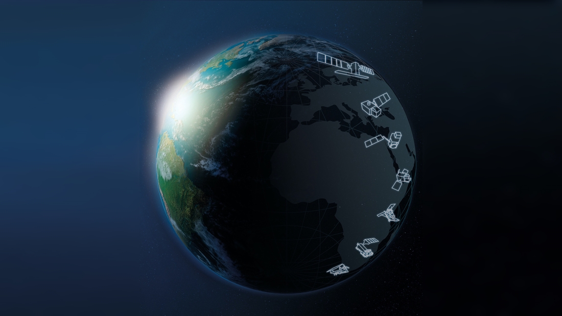
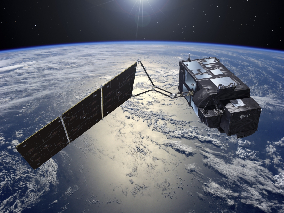
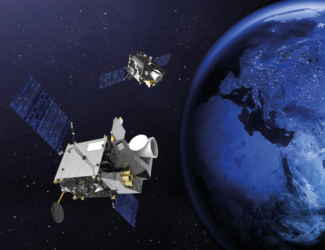
The Sentinel satellite families, the centerpiece of Europe’s environmental monitoring efforts, are being developed for the European Space Agency (ESA) as part of the European Commission’s Copernicus program. There are now 12 series of satellites, built on behalf of ESA. Our company is a lead industrial partner in the Copernicus program. Sentinel-1 provides continuity for the radar data gathered by ERS and Envisat. Sentinel-2 and -3 monitor land masses and oceans. Sentinel-4 and -5 instruments handle meteorology and climatology missions, while Sentinel-6 will provide operational continuity for the Jason altimetry missions. Thales Alenia Space is prime contractor for the Sentinel-1 and -3 families, comprising four satellites each. We are in charge of the image ground segment for Sentinel-2, contributed to the imaging spectrometer for Sentinel-5P and will provide the Poseidon-4 radar altimeter for the Jason-CS/Sentinel-6 mission. We also contribute to five of the six new Copernicus Expansion missions, three as prime contractor and two as payload supplier. These new satellites will be used to measure the atmospheric carbon dioxide (CO2) produced by human activity, monitor sea ice thickness and overlying snow depth, provide improved services for sustainable agriculture and biodiversity management, observe ocean behavior, and support precision agriculture and food security.
World-leading expertise in altimetry

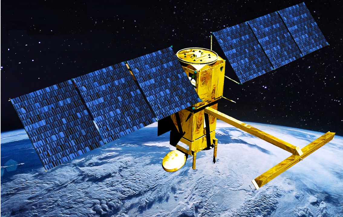
Thales Alenia Space is a world leader in space altimetry, a technique that lets us study sea surface height, sea ice thickness and river and lake levels, as well as land, ice sheet and seabed topography.
Our company has provided a host of instruments for oceanography, including the Poseidon altimeters on the Topex-Poseidon and Jason 1, 2 and 3 missions for the French space agency CNES. We also built the AltiKa Ka-band altimeter for the French-Indian SARAL oceanography satellite, and the SIRAL 2 very-high-resolution SAR (synthetic aperture radar) altimeter on ESA’s Cryosat-2 satellite, capable of measuring variations in sea ice thickness and continental ice mass balance with unparalleled accuracy. In addition, we supply the SRAL SAR altimeters for Sentinel-3. Other examples include the MERIS multispectral optical “water color” spectrometer on the Envisat satellite and the OLCI instrument on Sentinel-3, the SWIM altimeter on the CFOSat satellite for CNES, which measures wave spectra, and the SADKO altimeters on Russia’s GEO-IK satellites.
Thales Alenia Space has contributed to some of ESA’s landmark scientific missions: the MERIS medium-resolution spectrometer on Envisat to reveal the secrets and colors of the oceans, GOCE (gravity field and steady-state ocean circulation explorer), which will provide a detailed map of Earth’s gravitational field, and the SMOS satellite for the analysis of soil moisture and ocean salinity. Our teams are also working on the state-of-the-art SWOT oceanography satellite for CNES and NASA.
How does weather affect our lives?
It can be extremely useful to know tomorrow’s weather. But when it comes to forecasting extreme events like typhoons, hurricanes and floods, satellites really come into their own and play a key role in saving lives. Meteosat Second Generation (MSG) satellites cover Europe, the North Atlantic and Africa, providing updated imagery every 15 minutes, compared to 30 minutes on the first-generation satellites. MSG satellites give meteorologists higher-quality images thanks to a large increase in observation channels and better radiometric performance, coupled with shorter revisit times. This allows them to detect and monitor rapidly developing events like storms, which directly impact populations and economic sectors such as farming, fishing and transport, especially shipping.
Thales Alenia Space is now developing Meteosat Third Generation (MTG) satellites, which will update images every 10 minutes to make weather forecasts more accurate than ever. Some MTG satellites will also carry atmospheric sounders. All European geostationary meteorological satellites to date have been built by Thales Alenia Space as prime contractor.
Space-based solutions for Earth

The agriculture sector has been an enthusiastic early adopter of satellite technology: over 90% of tractors in the EU are already EGNOS (European Geostationary Navigation Overlay System) enabled! The benefits in terms of greening agriculture in Europe are clear. Satellite-enabled precision farming allows farmers to save fuel by avoiding overlaps in field cultivation. They can also reduce pesticide and fertilizer use thanks to more targeted application. But agriculture is only one of the main fields in which space systems are driving green innovation. Galileo is also contributing to many of the innovative trends on our roads, making passenger and freight transport more sustainable. Satellite-based navigation generally makes life on the road easier, by significantly reducing traffic and therefore its carbon footprint. Ride-sharing and other sustainable mobility solutions all rely on precise positioning.
European Global Navigation Satellite Services (GNSS), in particular EGNOS, help make air travel greener and more accessible. EGNOS-enabled procedures at airports result in fewer aborted landings, which in turn means significant fuel savings for airlines… and reduced carbon emissions. Thales Alenia Space will play a major role on the Galileo Second Generation system, enhancing the constellation’s performance and cybersecurity. We have been chosen by ESA and the European Commission to build six new satellites incorporating innovative technologies such as digitally configurable antennas, intersatellite links and all-electric propulsion systems. These satellites will improve Galileo’s accuracy as well as resistance to signal interference and jamming. Reflecting the upcoming digital decade, this capability will also support its increased use for defense and security applications.
Stay tuned for future “Space for Life” Chronicles.
Illustrations: © ESA - © CNES - © Thales Alenia Space/Briot - © Thales Alenia Space/Master Image Programmes