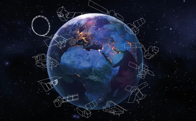
We live at a critical time as the world grapples with the negative impacts of climate change. Space technology offers a unique vantage point, providing comprehensive, real-time data vital to making informed decisions.
On Earth Day, we take time out to celebrate this wondrous planet with our solutions.
Satellites observe our planet all day, every day. By tracking the movement of our natural systems – and the effect of human activity on them – we can understand the patterns, causes and results of climate change on the elemental activities that sustain us.
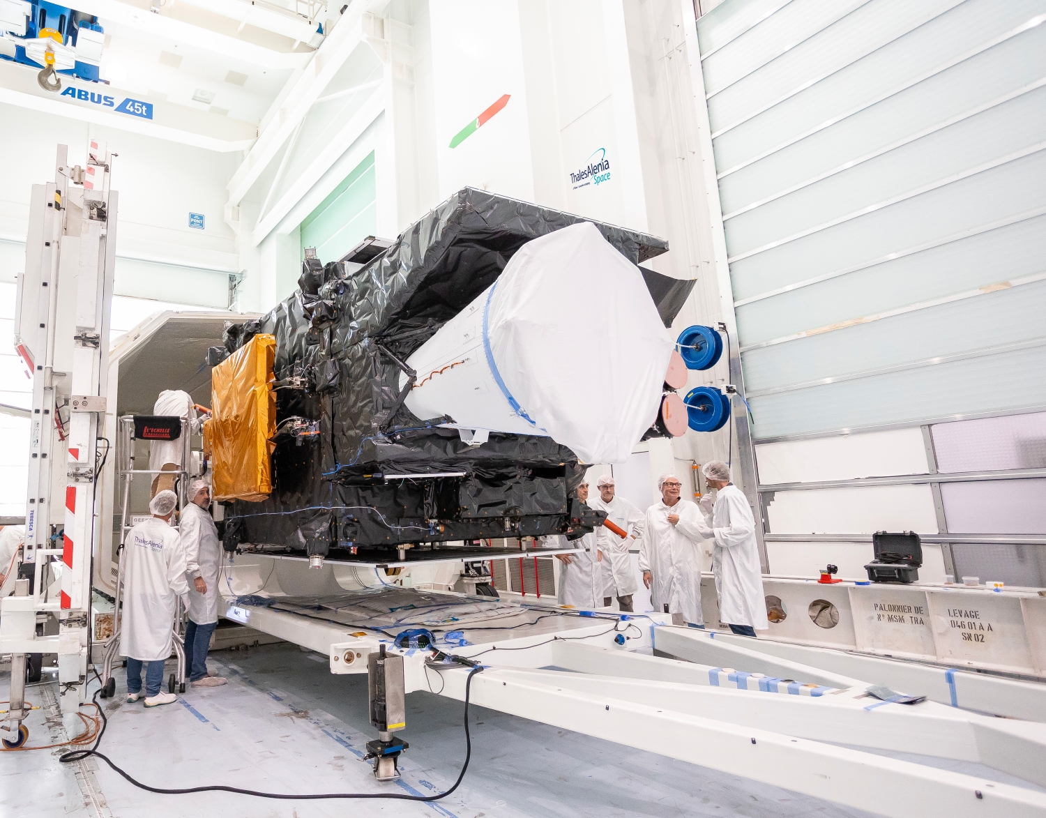
Keeping an eye our planet with Copernicus

Copernicus © Thales Alenia Space
Copernicus is a very ambitious European program pursued jointly by the European Commission and the European Space Agency (ESA) to establish a space infrastructure capable of monitoring Earth’s land surfaces, water and atmosphere. The program comprises 12 families of Earth-observing satellites packed with optical and radar sensing technologies. Copernicus also encompasses climatology missions that aim to measure human CO2 emissions and foster new applications supporting sustainable agriculture and biodiversity. A program of this scale is crucially important for Europe, seeking to shed new light on our changing climate and anticipate the effects of global warming in order to protect and conserve the planet.
The program started with six families of Sentinel satellites, subsequently complemented by six new Copernicus Expansion missions. Our company is contributing to 11 of these 12 missions. We’re prime contractor for the Sentinel-1 and Sentinel-3 missions, and for three of the six Copernicus Expansion missions, CIMR, ROSE-L and CHIME. We’re also in charge of the image ground segment for Sentinel-2, we helped develop the imaging spectrometer for Sentinel-5P, we provided the radar altimeter for Sentinel-6, and we’re supplying the satellite payloads for the CO2M and CRISTAL missions.
Copernicus features a host of innovations for collecting unprecedented environmental data. The CO2M mission is a particularly good example. This mission aims to measure how much of the carbon dioxide in the atmosphere is being generated by human activities. Identifying the causes and proportions of CO2 emissions will enable us to ascertain how much is in our atmosphere and track any changes. It will also allow us to verify implementation and compliance with national regulations and international targets, giving the European Union a unique and independent source of information to consolidate reporting and control its carbon footprint. The CO2M program is aligned with the aims of the European Green Deal launched in 2019 to cut the EU’s net greenhouse gas emissions by at least 55% by 2030 compared to 1990 levels.
Copernicus also encompasses other environmental monitoring missions, such as CHIME, which is aiding sustainable management of farming, and LSTM (Land Surface Temperature Monitoring). CRISTAL will measure and monitor sea-ice thickness, overlying snow depth and ice-sheet elevations around the globe, key to understanding and analyzing the direct consequences of climate change. And ROSE-L will help to manage forests more sustainably by monitoring soil moisture and surface displacements.
The data collected by all of these missions will yield a wealth of information on Earth’s environment.
Copernicus is basically unmatched anywhere in the world. It affords an exceptional opportunity for the European Commission and ESA to demonstrate their space technology skills and expertise, and their ability to innovate. It’s a standout program, spotlighting Europe’s environmental surveillance ambitions and advancing scientific knowledge.
Sentinel-1 casting a benevolent eye on Earth

Sentinel-1 © ESA
A cornerstone of the Copernicus program, the Sentinel-1 satellites are designed to perform day/night imaging in all weather conditions, irrespective of cloud cover.
Sentinel-1 data serves a wide range of applications, from tracking changes in ice sheets and the Arctic environment to detecting landslides, mapping forests, monitoring water resources and land use, and aiding emergency response in the aftermath of natural disasters.
Each satellite has a payload comprising a C-band SAR instrument, which acquires imagery with a spatial resolution down to 5 meters. As the Sentinel-1 mission has two satellites flying in tandem, it offers better coverage and a shorter repeat cycle to meet user requirements. In the near future, Sentinel-1A will be joined by two more spacecraft in the series: Sentinel-1C and -1D.
These new spacecraft, together with the Copernicus Expansion missions, will complement the Sentinels already in orbit and advance our knowledge of large-scale natural and human-induced changes to the planet.
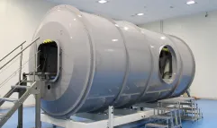
Revolutionizing meteorology with MTG
First MTG imaging satellite © Thales Alenia Space/Imag[IN]
Over the decades, European meteorology has become increasingly accurate. With the first generation of Meteosat, images were refreshed every 30 minutes, and then every 15 minutes for the second generation. Meteosat Third Generation (MTG) will now update images every ten minutes, making weather forecasts more accurate than ever before. Information delivered by MTG promises to revolutionize weather forecasting, while supporting more precise monitoring of our changing atmosphere, land surfaces and oceans. MTG is designed to improve weather forecasts, especially for severe storms that pose a growing threat to people everywhere. Besides weather forecasts, this unique fleet of satellites will deliver a wealth of data to model the Earth system, better understand climate change and ultimately help us adapt to changing conditions. The MTG constellation comprises six satellites: four imaging and two sounding satellites. The two state-of-the-art atmospheric sounding satellites will provide 3D maps of the atmosphere — a world first – and be able to detect severe weather events half a day ahead. By combining all these capabilities, meteorologists can accurately forecast the weather out to eight days, giving populations much earlier warning. In addition to saving lives, MTG will pave the way for new services in Europe and Africa. The first third-generation satellite, MTG-I1, was successfully launched on December 13, 2022. MTG-I1 captured a tremendous first image of the Earth in May 2023. Two months later, Eumetsat and ESA unveiled the first results from Europe’s first lightning detector that were really impressive as well. Once the entire MTG fleet is in orbit, Eumetsat will offer the best weather services in the world.
Monitoring oceans
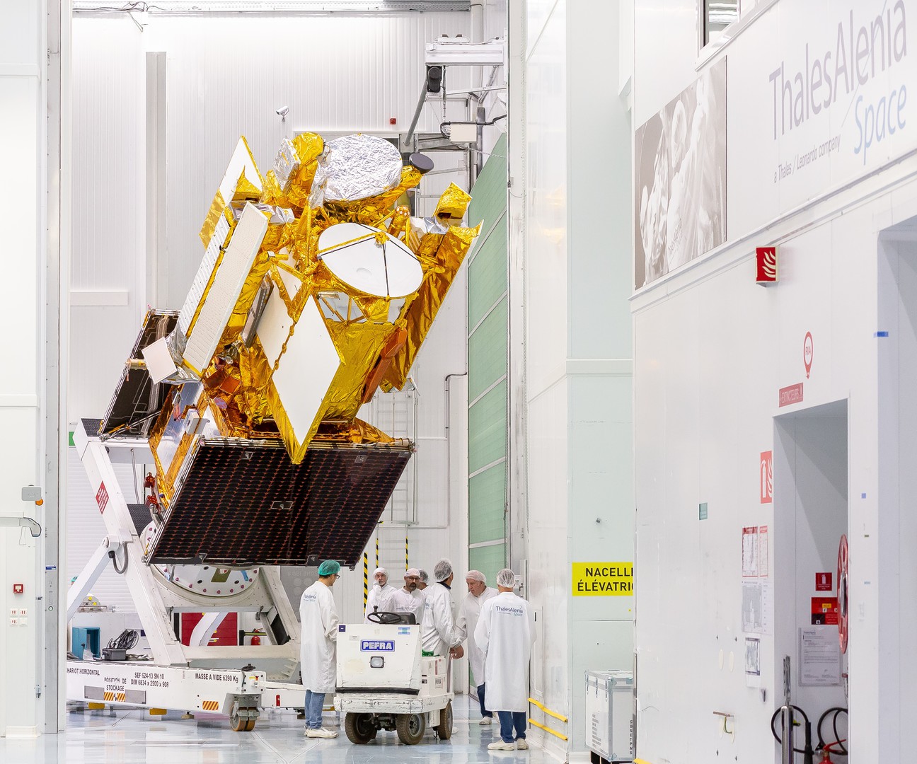
SWOT © Thales Alenia Space/Imag[IN]
French and U.S. oceanographers and hydrologists and international partners have joined forces to develop SWOT, a satellite mission featuring our radar altimeters, to undertake the first global survey of Earth's surface water, observe the fine details of the ocean's surface topography, and measure how water bodies change over time. A joint mission between CNES and NASA, this satellite, mostly built by Thales Alenia Space in partnership with the Jet Propulsion Laboratory, is set to revolutionize oceanography and continental hydrology. Successfully launched in December 2022, SWOT features a controlled atmospheric reentry subsystem, which means no debris will be created when it reaches the end of its life. Like MTG-I1, SWOT satellite entered into service and delivered its first images in March 2023. The satellite will measure the elevation of nearly all the water on Earth’s surface and provide one of the most comprehensive surveys yet of our planet’s surface water. Lakes, rivers, reservoirs and oceans - 90% of the Earth's surface waters can be probed thanks to this high-tech jewel.
IRIDE: a new ally for Earth

IRIDE © Thales Alenia Space/Master Image Programmes
Currently under development, IRIDE is an Earth-observing satellite constellation initiated by the Italian government, with funding rom the Italian National Recovery and Resilience Plan (PNRR). IRIDE will be completed by 2026 under the management of the European Space Agency (ESA), with the support of the Italian space agency (ASI).
Designed as a “constellation of constellations”, IRIDE is made up of several sub-constellations of satellites in low Earth orbit (LEO), known as the Upstream Segment, and a ground infrastructure (Downstream Segment) and services for the Italian government (Service Segment).
The IRIDE project includes the development and launch of satellites — and the supply of related services — with different imaging technologies, such as synthetic aperture radar (SAR) sensors, high- and medium-resolution optical sensors, and sensors in various frequency ranges, from panchromatic to multispectral, hyperspectral and infrared bands.
In addition to providing services to the Italian government, IRIDE also aims to support civil protection services and other agencies in fighting hydrogeological instability and fires, protecting coastlines and monitoring critical infrastructures, air quality and weather conditions.
It will also provide data analytics for the development of commercial applications by start-ups, small and medium-sized enterprises and industries in the sector.
Thales Alenia Space is currently at work building six SAR satellites and one optical satellite, both based on the modular NIMBUS (New Italian Micro Bus) platform purpose-designed for high-capacity constellations offering high revisit rates.
First photo: aerial view of rice terraces with small heart shaped lake on Bali, Indonesia © iStockphoto